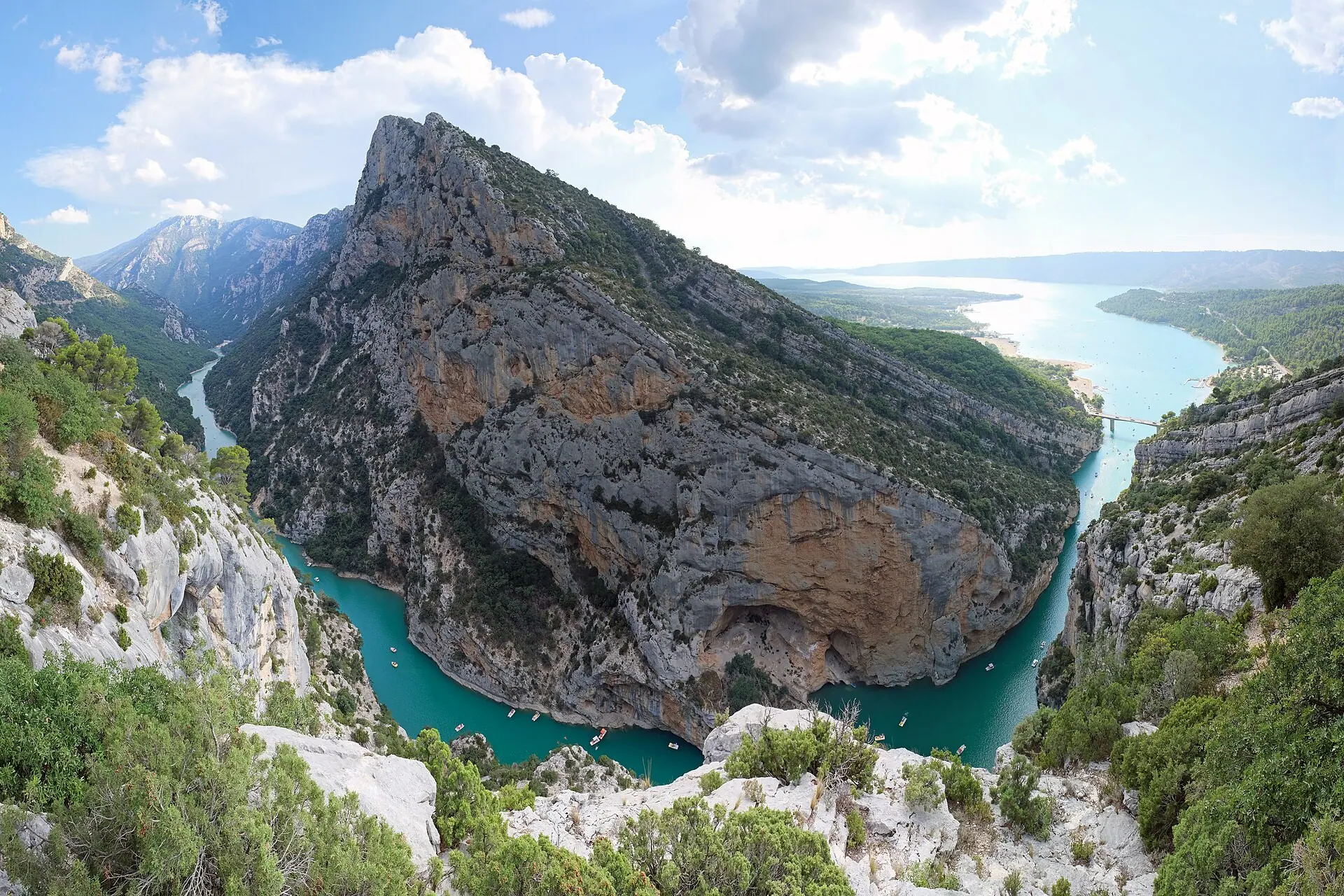
Nature and great sites
The viewpoints of the Verdon
48 viewpoints, two banks, unforgettable panoramas
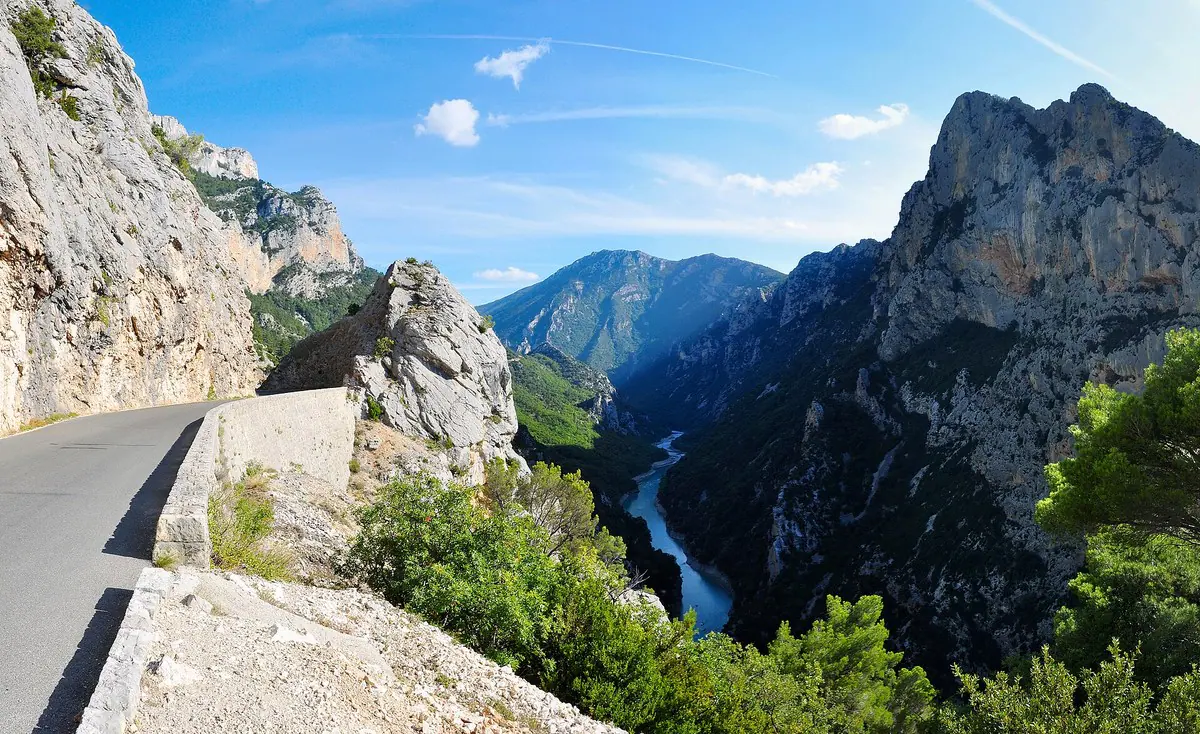 Route des CrêtesRight bankA loop starting from La Palud-sur-Verdon, with 19 viewpoints above the void.Discover the right bank →
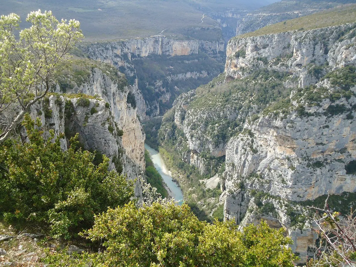 Corniche SublimeLeft bankThe D71 road, on the Aiguines and Comps-sur-Artuby side, passes the Balcons de la Mescla and the Pont de l’Artuby.Discover the left bank →
Photo: Tobi 87, CC BY-SA 3.0 · René Hourdry, CC BY-SA 4.0
Panoramas not to miss
Four famous viewpoints, on both banks and by the lake.
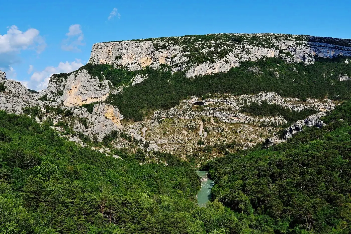 Point SublimeRougonThe view over the entrance to the canyon and the Couloir Samson.See the viewpoint →Zairon · CC BY 4.0
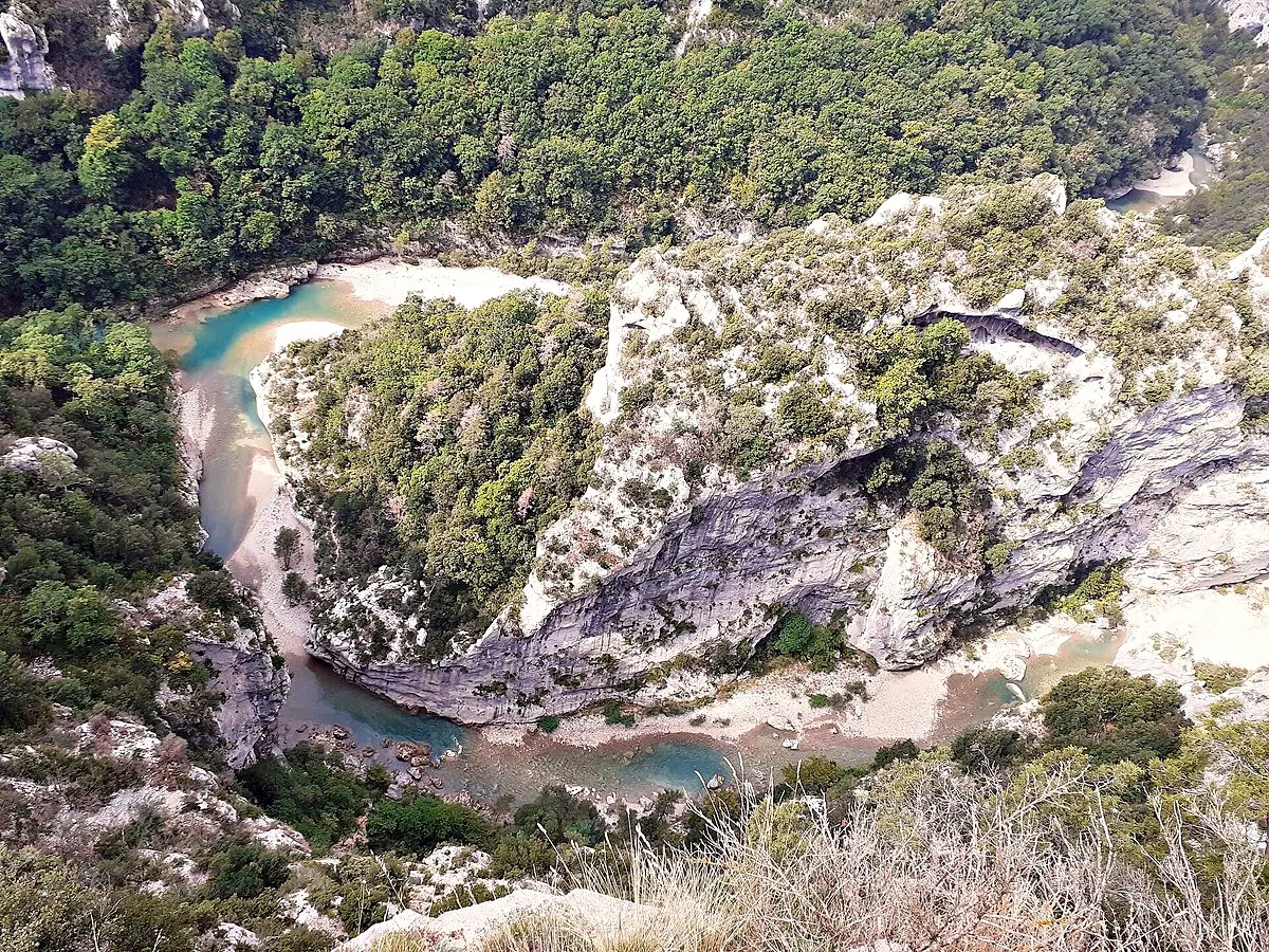 Balcons de la MesclaCorniche SublimeThe tight bend where the Artuby joins the Verdon.See the viewpoint →Abxbay · CC BY-SA 4.0
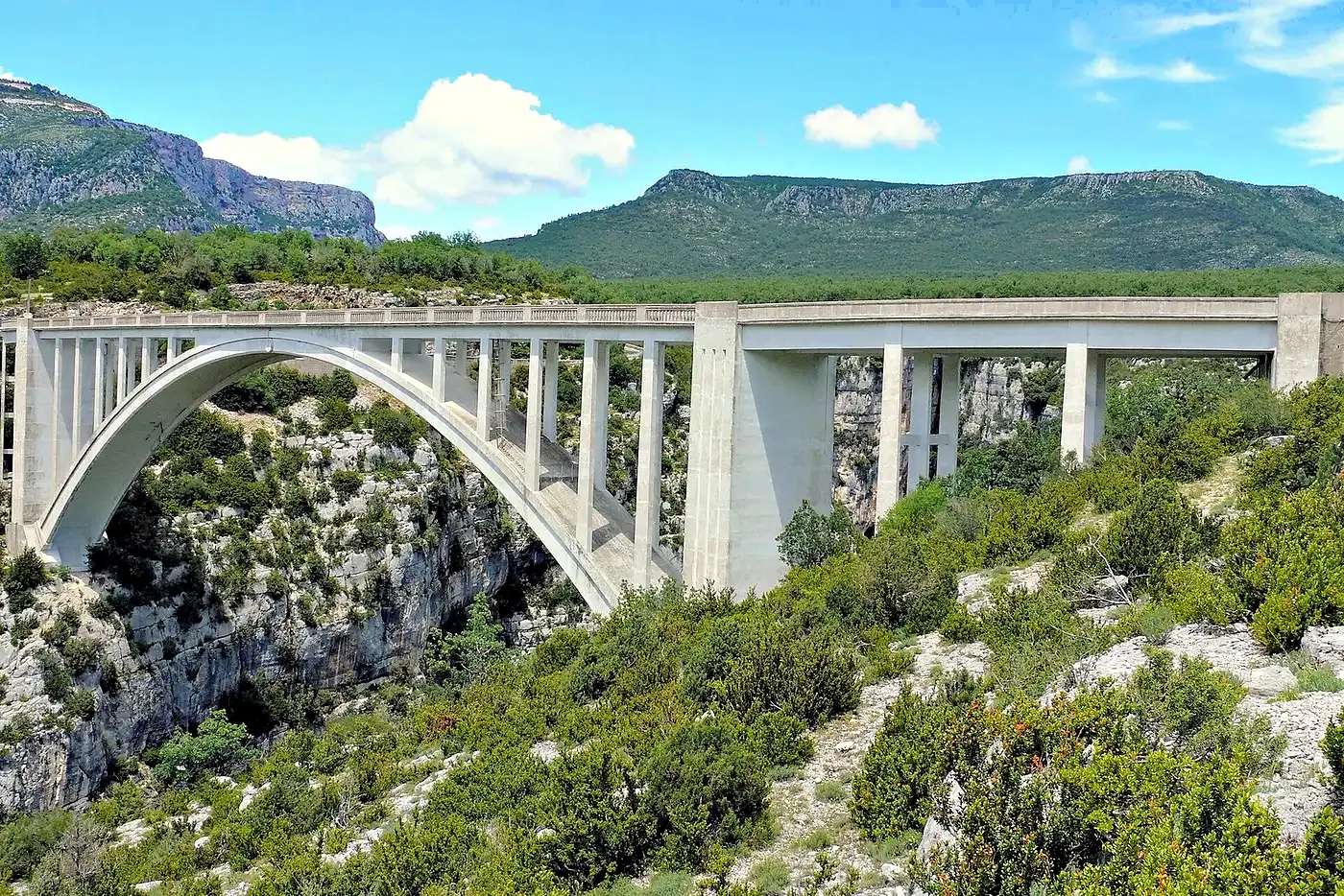 Pont de l’ArtubyCorniche SublimeThe arched bridge above the Artuby gorge.See the viewpoint →MOSSOT · CC BY-SA 3.0
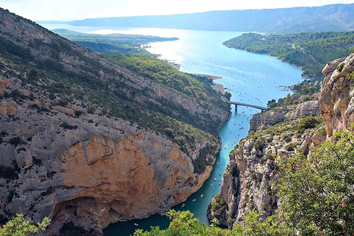 Galetas viewpointLake Sainte-CroixWhere the canyon opens onto Lake Sainte-Croix.See the viewpoint →kallerna · CC BY-SA 4.0
Choose your panorama
The viewpoints that match what you are looking for.
 Access by car
 Little walking
 Dizzying view
 Turquoise lake
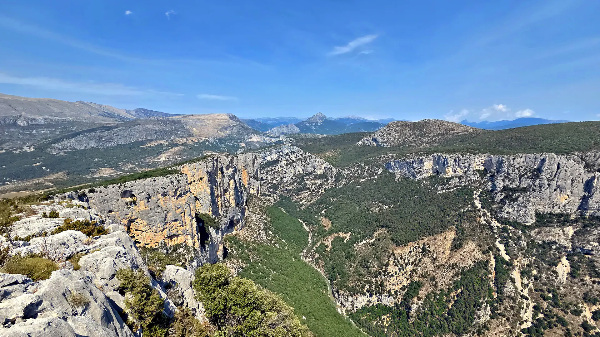 See all 48 viewpoints →
Both roads on the map
Locate the Route des Crêtes, the Corniche Sublime and each viewpoint.
- Route des Crêtes (right bank)
- Corniche Sublime (left bank)
- Other viewpoints
Explore all 48 viewpoints
Road by road: open a sector to see its viewpoints.
The Point Sublime & the entrance to the gorges
Right bank (north) 4
-
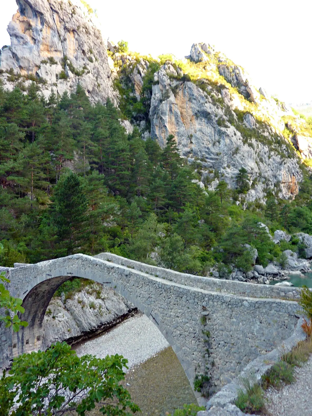
Adrienredacteur · CC BY-SA 4.0 Pont de Tusset RougonReached on foot from the Couloir Samson car park (~1.5 km there and back, GR 49). The bridge dates from the 17th century (an earlier structure is recorded as far back as the 11th century). Also an unsupervised wild swimming spot with clear water — no facilities, best avoided with young children.
-
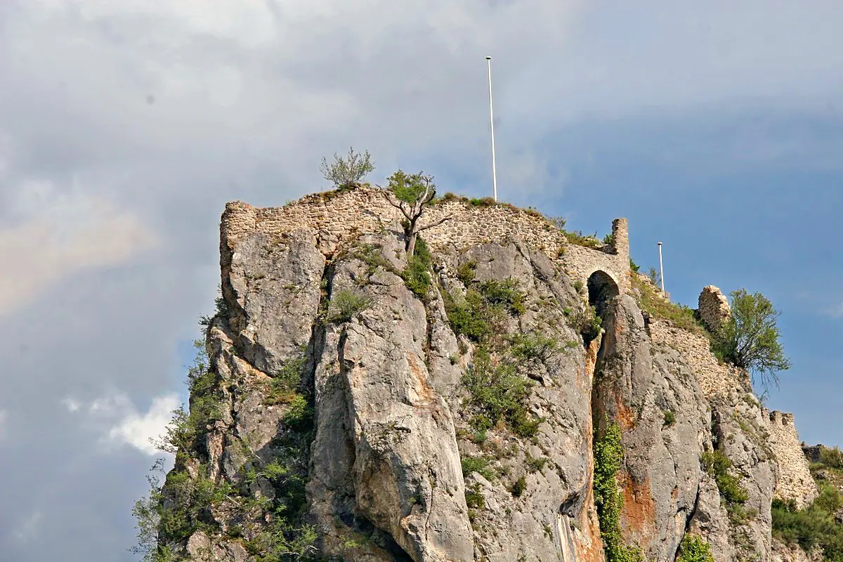
Petr1888 · CC BY-SA 4.0 Ruines du château de Rougon RougonA rocky outcrop overlooking the village of Rougon: two platforms separated by a natural fault, with the remains of a keep and three medieval buildings (listed site, Inventaire Général du Patrimoine Culturel).
Safety — orders of the mayor of Rougon dated 10 August 2026. East face of the castle: access permanently prohibited to anyone without authorisation (unstable rocks, risk of falling stones, rugged terrain; order no. 746). The ruins are reached by the western route (order no. 748): the passages are steep and potentially dangerous; wear suitable hiking shoes (sandals, flip-flops and town shoes are strongly discouraged); young children must remain under an adult’s constant supervision; people prone to vertigo or with reduced mobility are asked not to take this route. Everyone goes at their own risk. Official source
- Belvédere de Rancoumas La Palud-sur-Verdon
View over the loop of the Verdon.
- Point Sublime Rougon
The balcony at the entrance to the Grand Canyon, above the Couloir Samson where the Verdon rushes in between the rock walls. An emblematic viewpoint, on the Rougon side.
The Route des Crêtes (D23/D952)
Right bank (north) — the La Palud-sur-Verdon loop 19
-
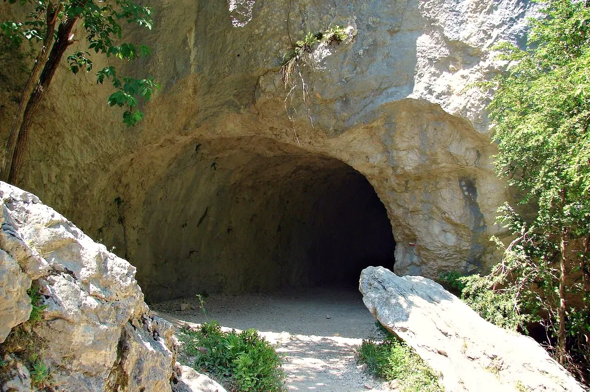
avu-edm · CC BY 3.0 Baume aux Pigeons Rougon -
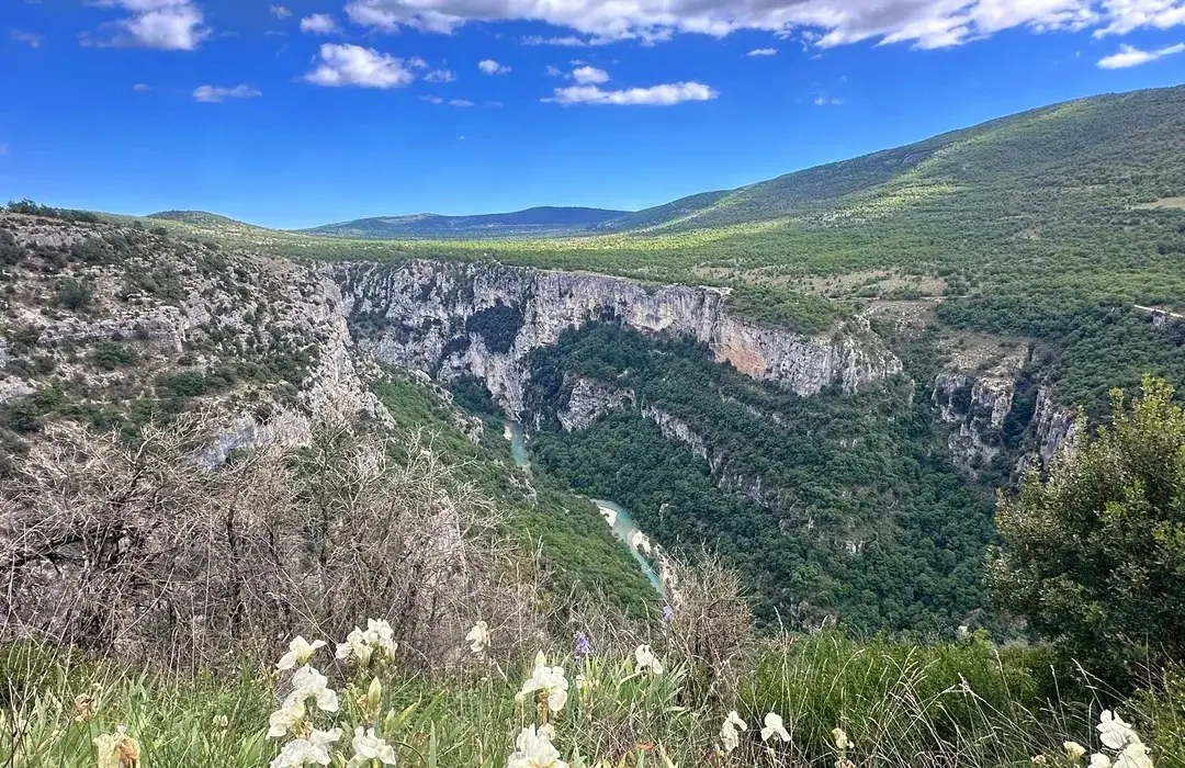
LiveVerdon Belvédère Armanet La Palud-sur-Verdon -
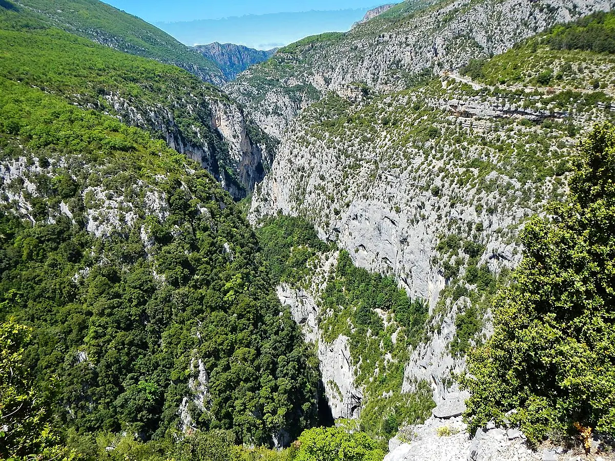
qwesy qwesy · CC BY 3.0 Belvédère de Bau Béni La Palud-sur-Verdon -
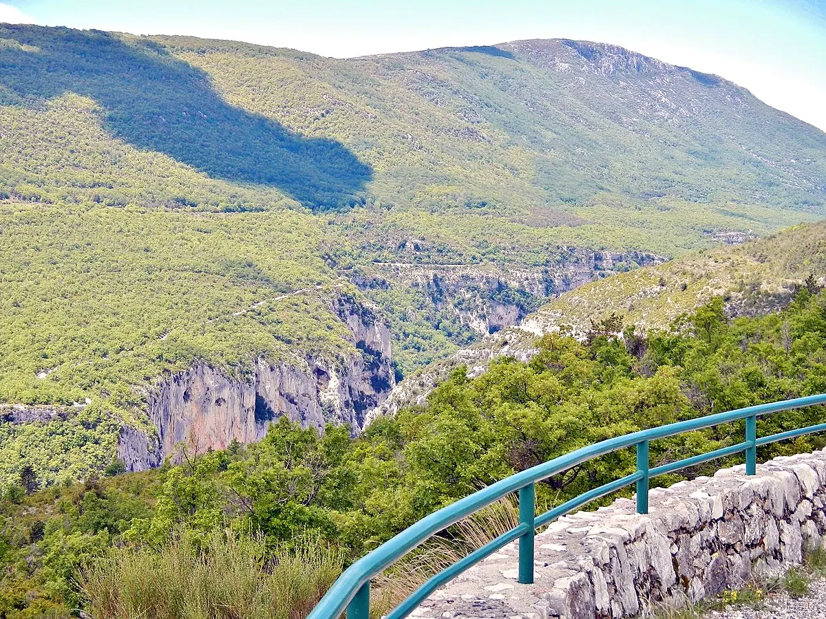
qwesy · CC BY 3.0 Belvédère de Guègues La Palud-sur-Verdon -
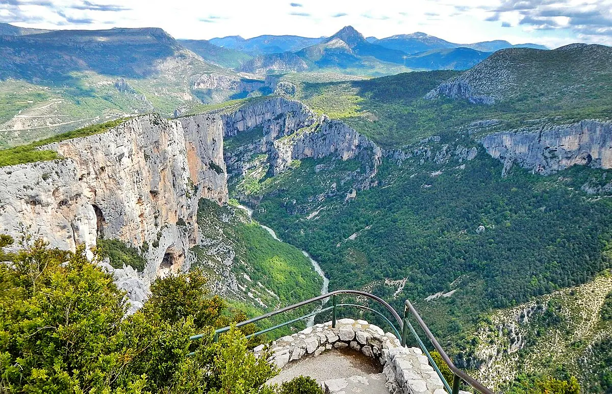
qwesy qwesy · CC BY 3.0 Belvédère de l'Escalès La Palud-sur-Verdon -
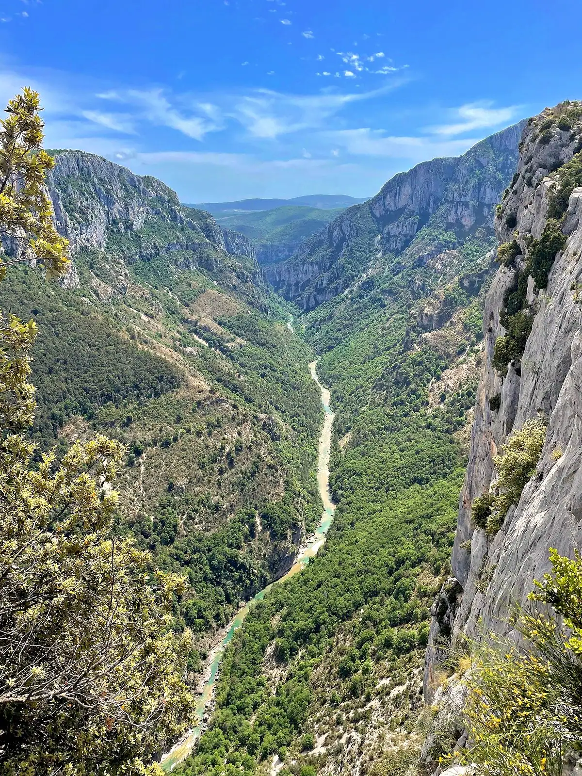
Einaz80 · CC BY-SA 4.0 Belvédère de la Carelle La Palud-sur-Verdon -
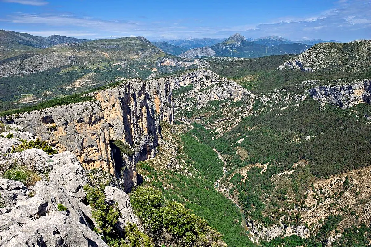
Einaz80 · CC BY-SA 4.0 Belvédère de la Dent d'Aïre La Palud-sur-Verdon -
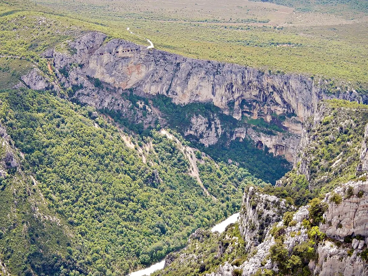
qwesy · CC BY 3.0 Belvédère de la Gorge de Guègues La Palud-sur-Verdon -
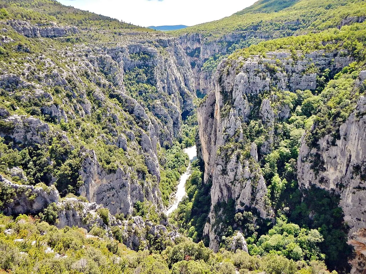
qwesy · CC BY 3.0 Belvédère de Maugué La Palud-sur-Verdon -
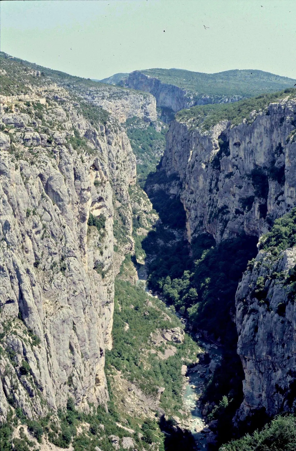
rene boulay · CC BY-SA 3.0 Belvédère de Mayreste La Palud-sur-VerdonThe first big view of the entrance to the gorges when you arrive from the west, before La Palud-sur-Verdon.
-
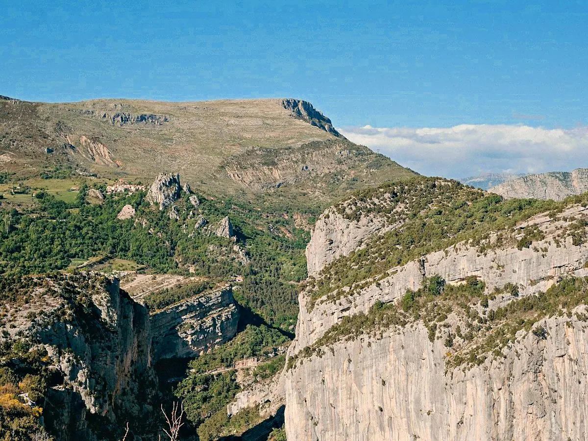
Dhiemas Afif Febriyan · Licence Unsplash Belvédère de Trescaïre La Palud-sur-Verdon -
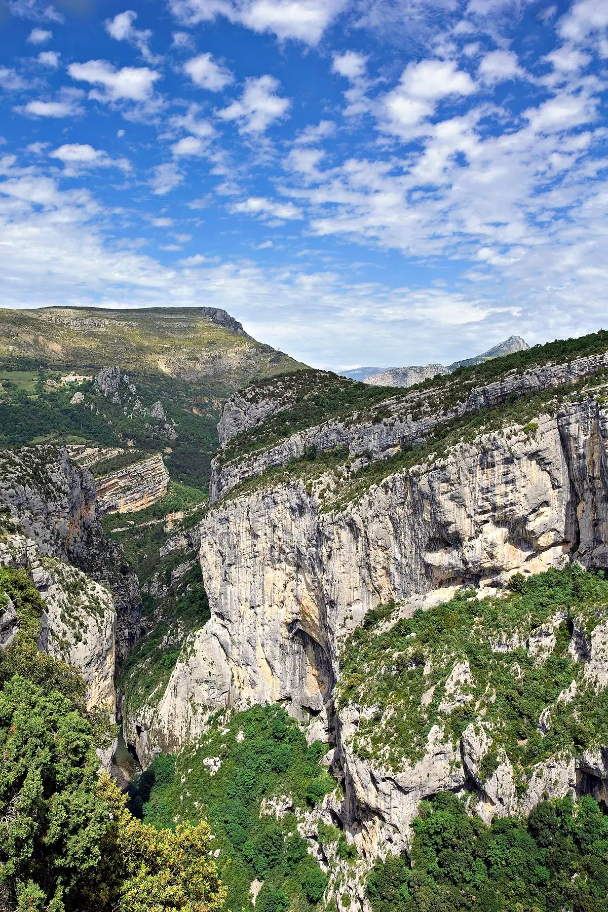
Einaz80 · CC BY-SA 4.0 Belvédère de Trescaïre Bas La Palud-sur-Verdon -
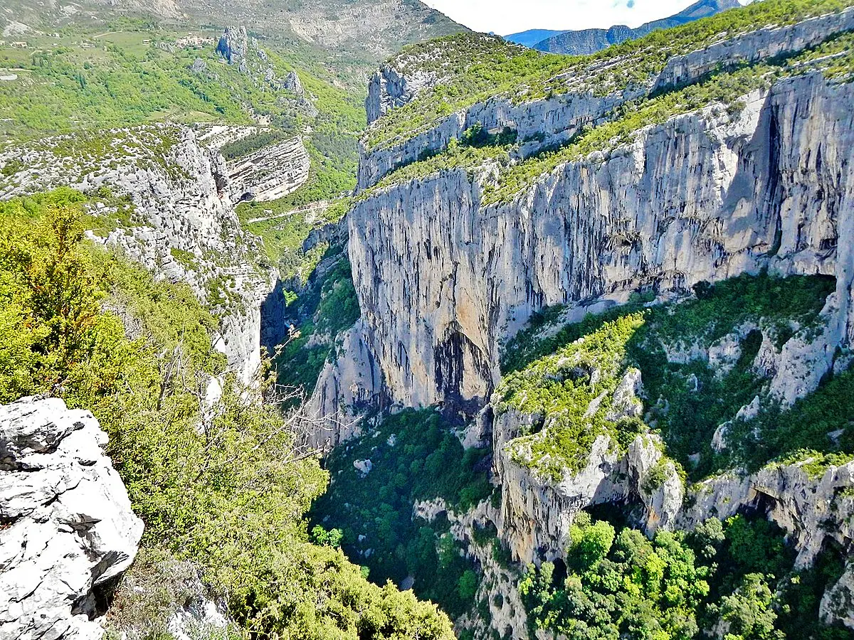
qwesy qwesy · CC BY 3.0 Belvédère de Trescaïre Haut La Palud-sur-Verdon -
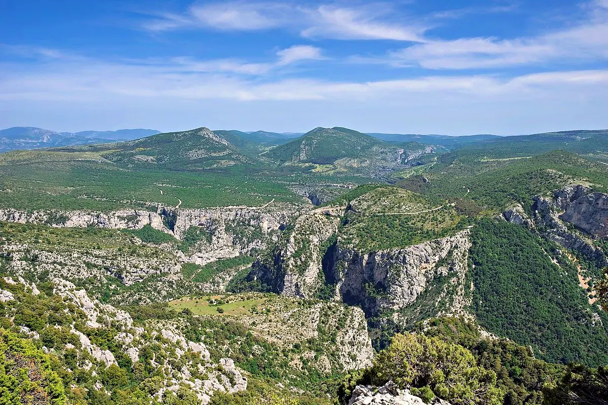
Einaz80 · CC BY-SA 4.0 Belvédère des Glacières La Palud-sur-Verdon -
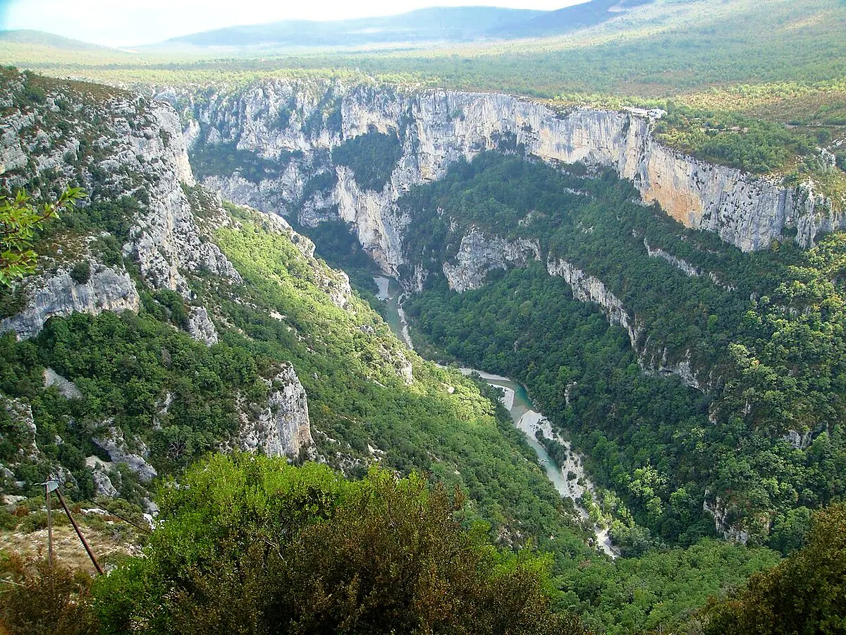
lombiedezombie@hotma… · CC BY 3.0 Belvédère Des Malines La Palud-sur-Verdon -
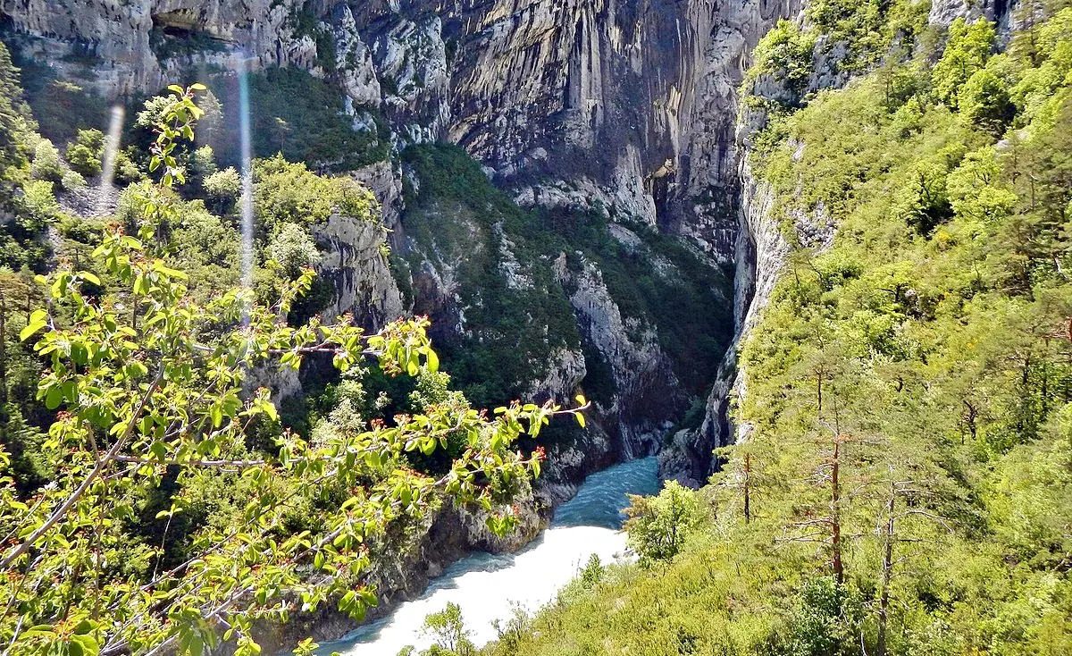
qwesy · CC BY 3.0 Belvédère du Couloir Samson Rougon -
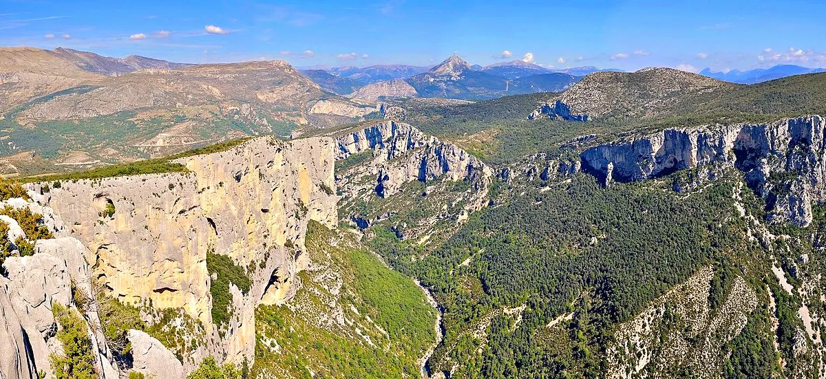
Tobi 87 · CC BY-SA 3.0 Belvédère du Pas de Bau La Palud-sur-Verdon -
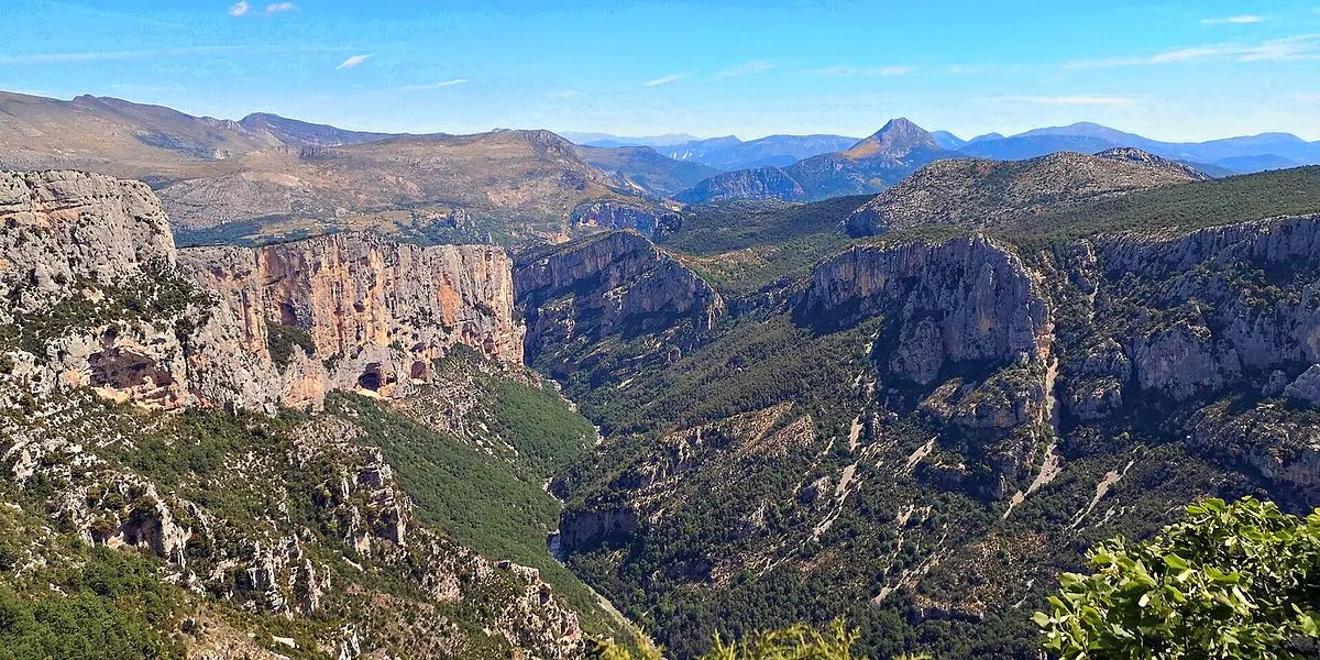
Mathieu BROSSAIS · CC BY-SA 4.0 Belvédère du Tilleul La Palud-sur-Verdon - Belvédère d'Eycharme La Palud-sur-Verdon
The Corniche Sublime (D71)
Left bank (south) — Aiguines, Comps-sur-Artuby 11
-
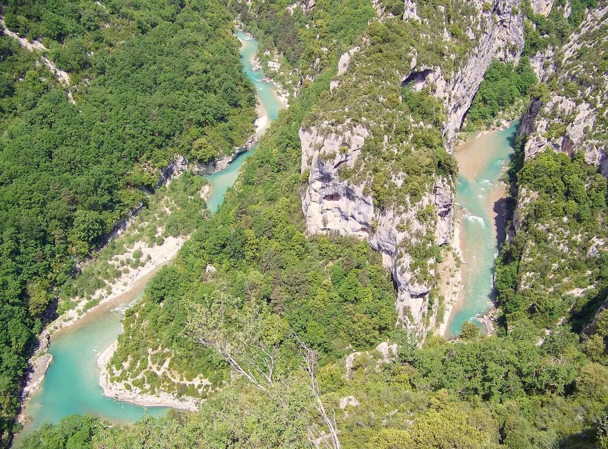
Einaz80 · CC BY-SA 4.0 Balcon de la Mescla Aiguines / Comps-sur-Artuby -
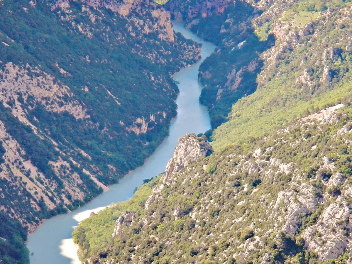
qwesy · CC BY 3.0 Belvédère de Fayet Aiguines / Comps-sur-Artuby -
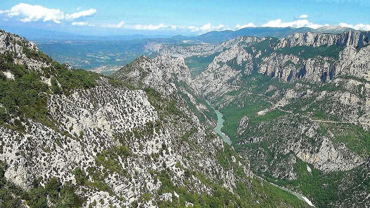
E v Schoonhoven · CC BY 3.0 Belvédère de l'Imbut Aiguines / Comps-sur-Artuby -
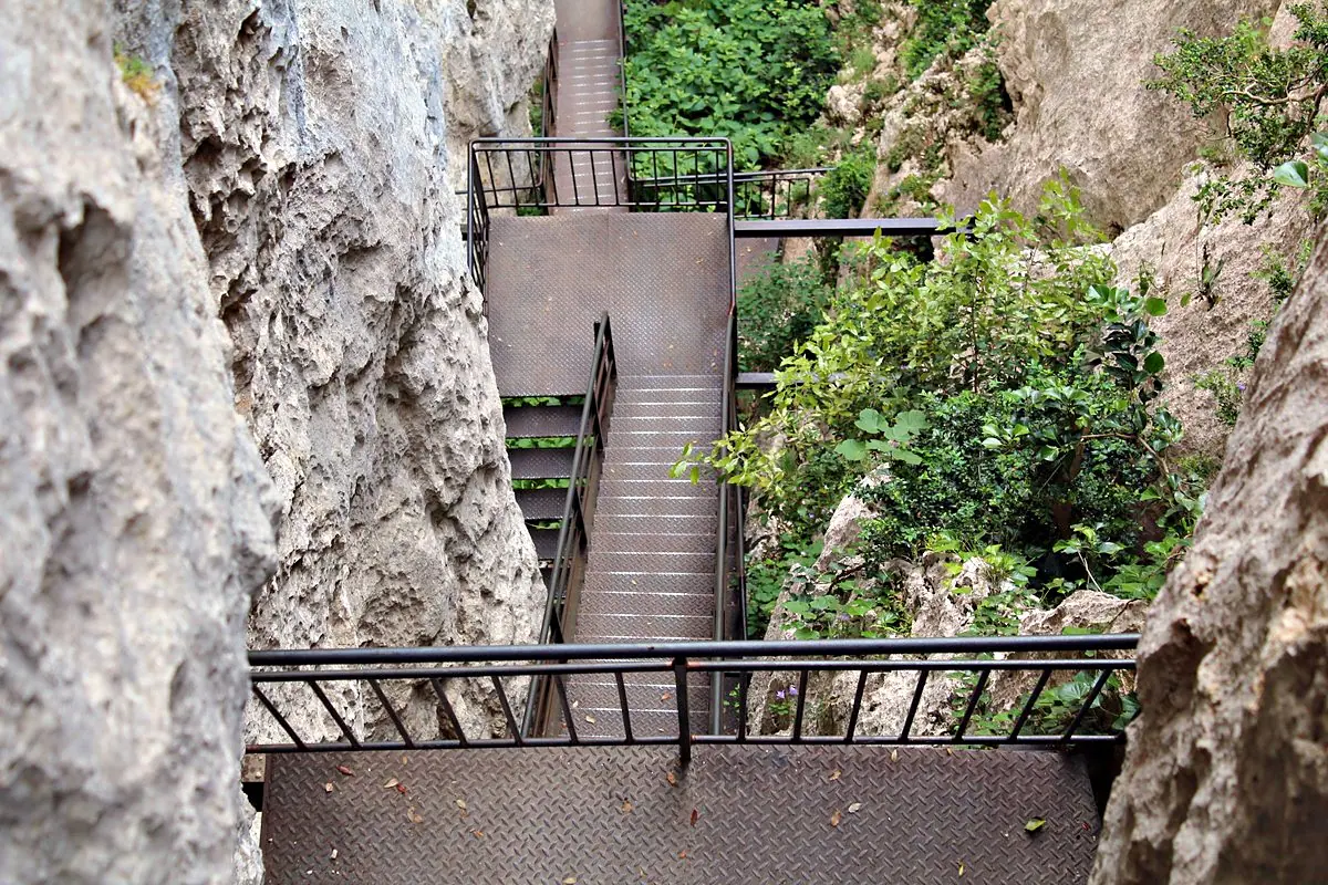
Chabe01 · CC BY-SA 4.0 Brèche Imbert Aiguines / Comps-sur-Artuby -
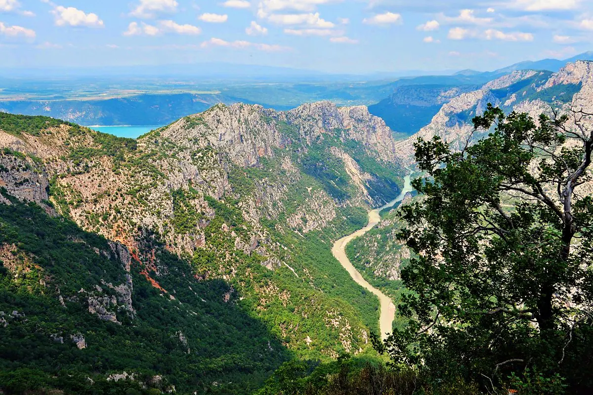
Zairon · CC BY 4.0 cirque de Vaumale Aiguines / Comps-sur-ArtubyThe highest stretch of the Corniche Sublime, a vast rocky cirque overlooking the canyon.
-
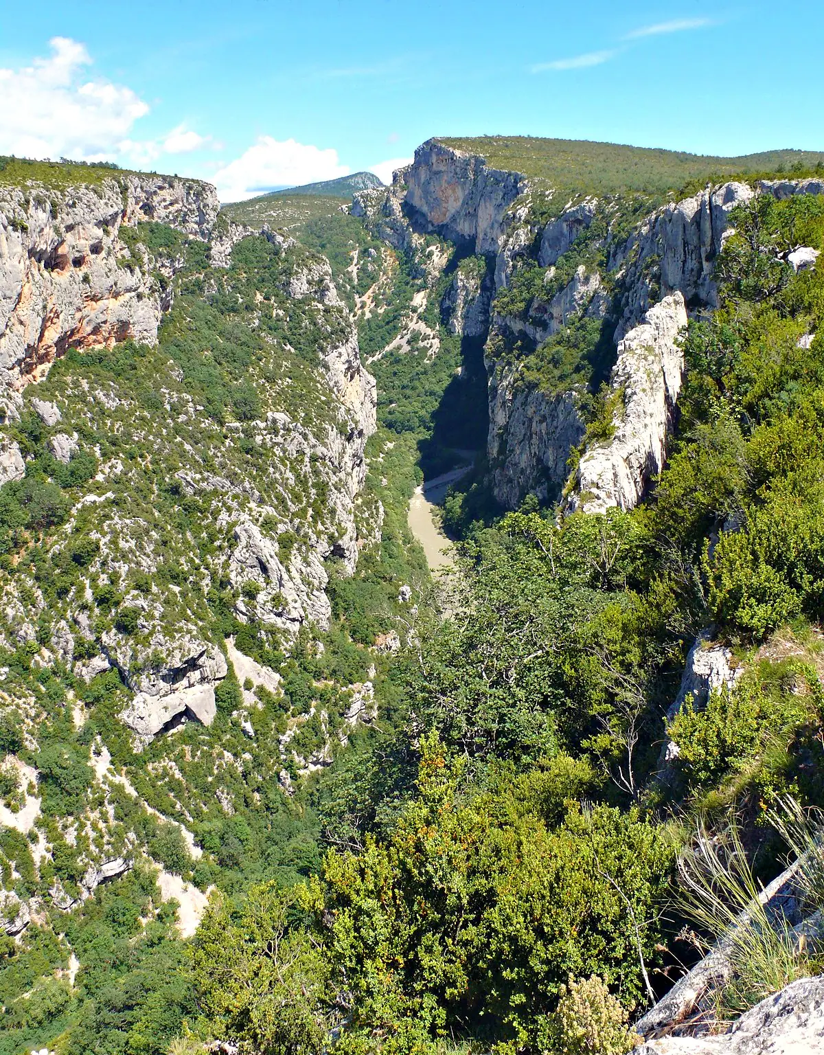
MOSSOT · CC BY-SA 3.0 La falaise des Cavaliers Aiguines / Comps-sur-Artuby -
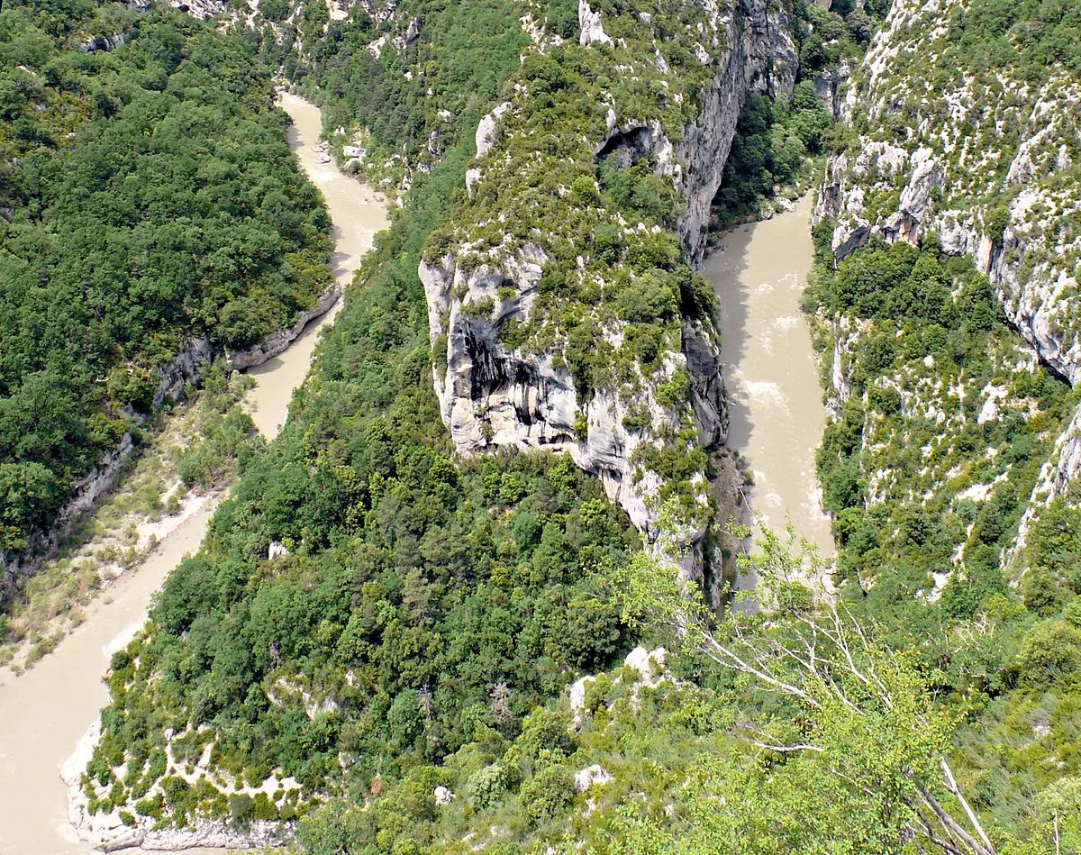
MOSSOT · CC BY-SA 4.0 La Mescla Aiguines / Comps-sur-Artuby -
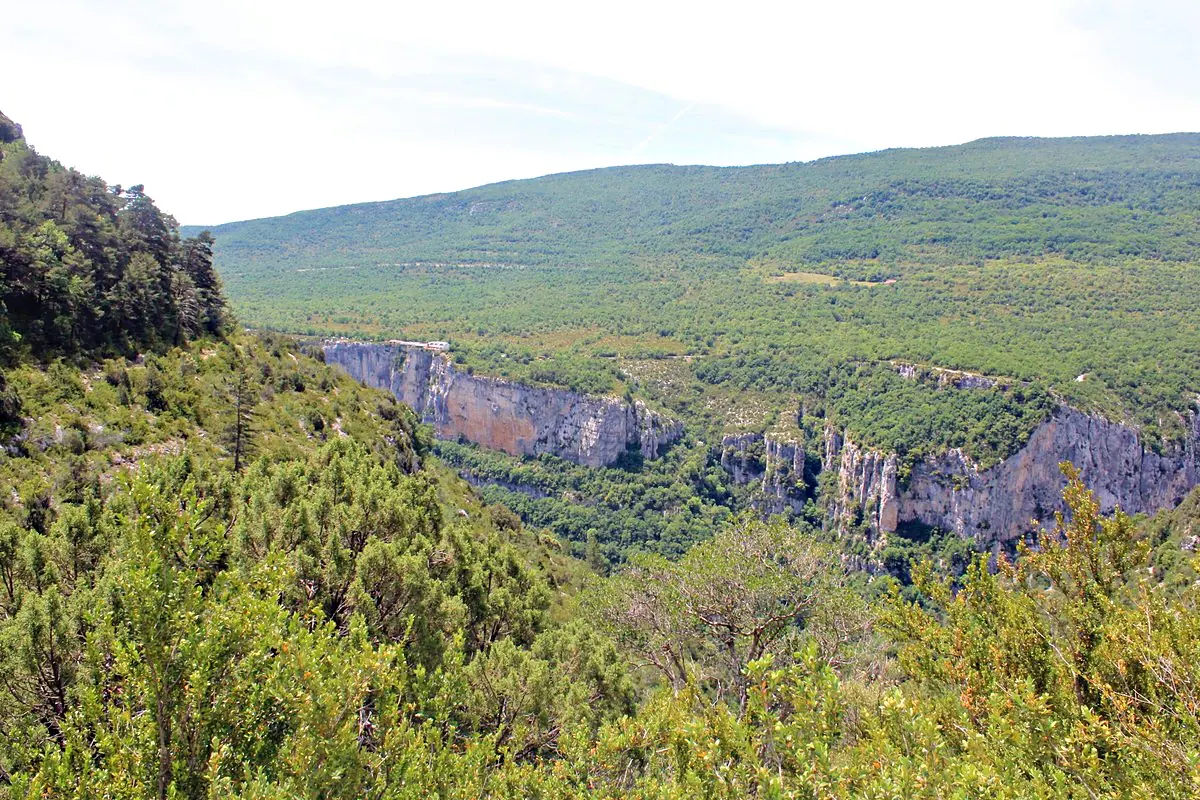
Chabe01 · CC BY-SA 4.0 Le Grand Margès Aiguines / Comps-sur-Artuby -
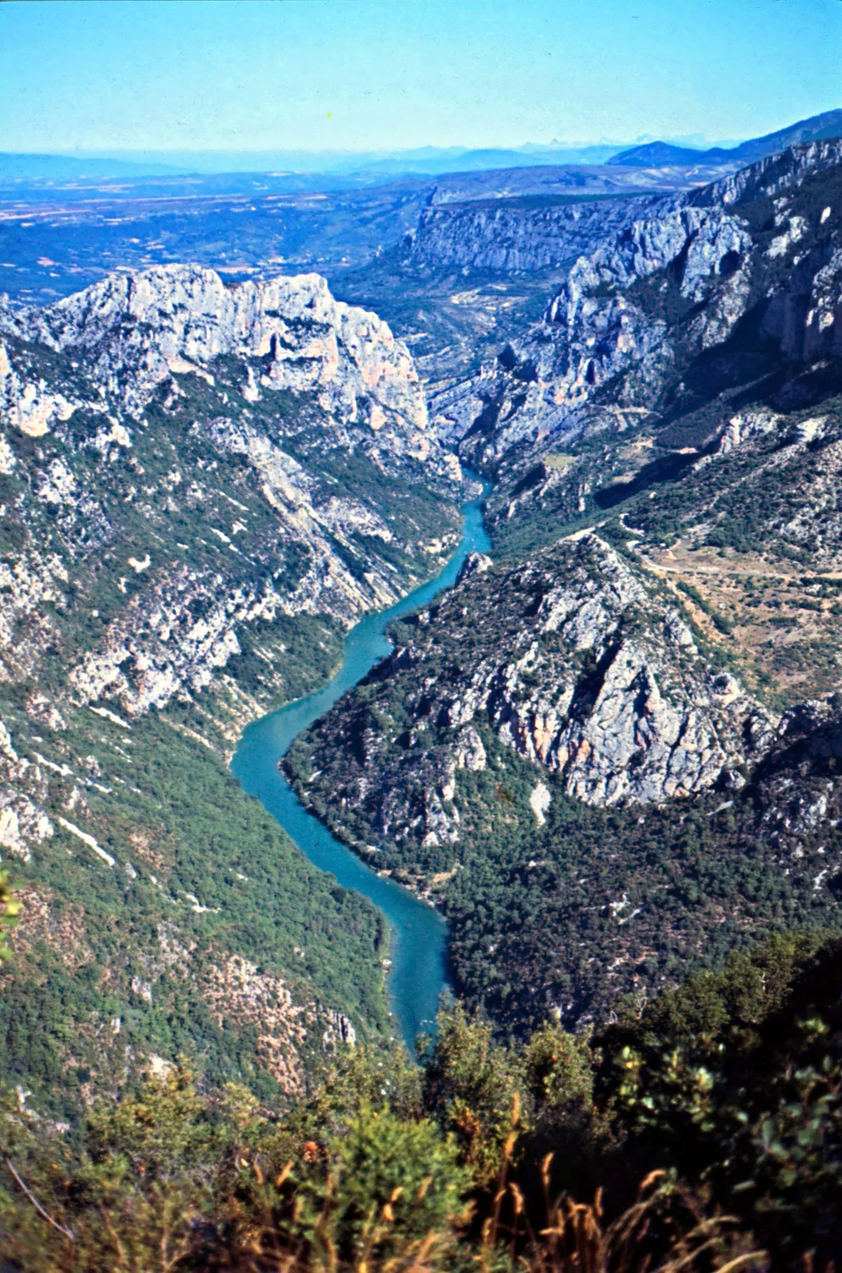
Rüdiger Stehn · CC BY-SA 2.0 Point vue Col d'Illoire Aiguines / Comps-sur-Artuby -
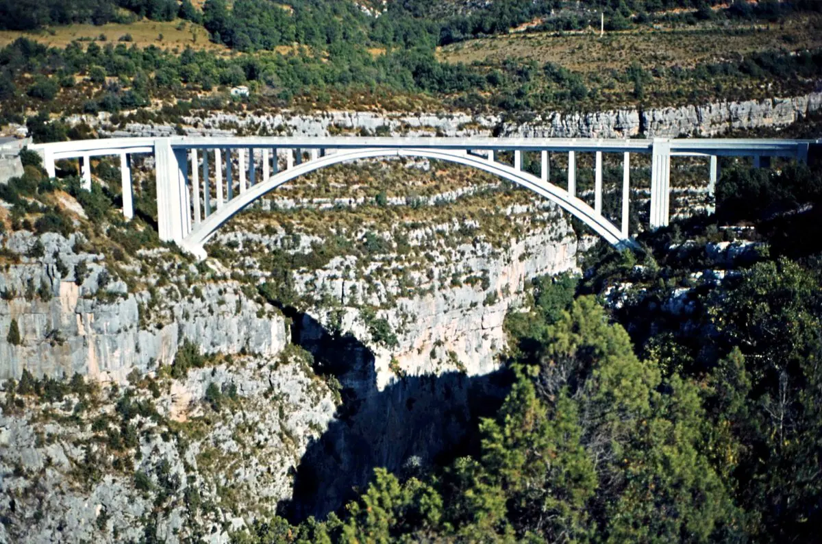
Rüdiger Stehn · CC BY-SA 2.0 Pont de l'Artuby Aiguines / Comps-sur-ArtubyThe arch bridge that spans the Artuby high above the void — a legendary bungee-jumping spot.
-
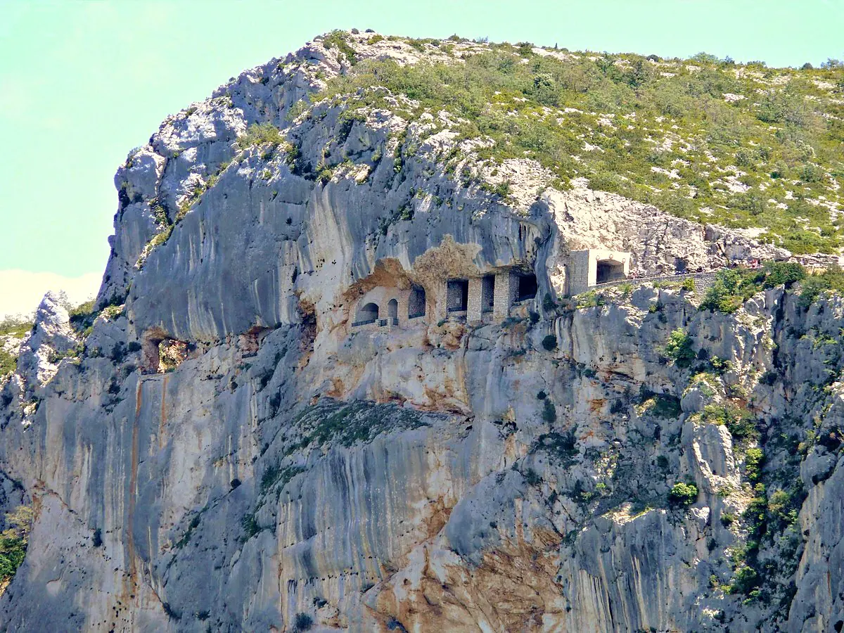
MOSSOT · CC BY-SA 3.0 Tunnel du Fayet Aiguines / Comps-sur-Artuby
The Galetas & Lake Sainte-Croix
Western mouth of the canyon 1
-
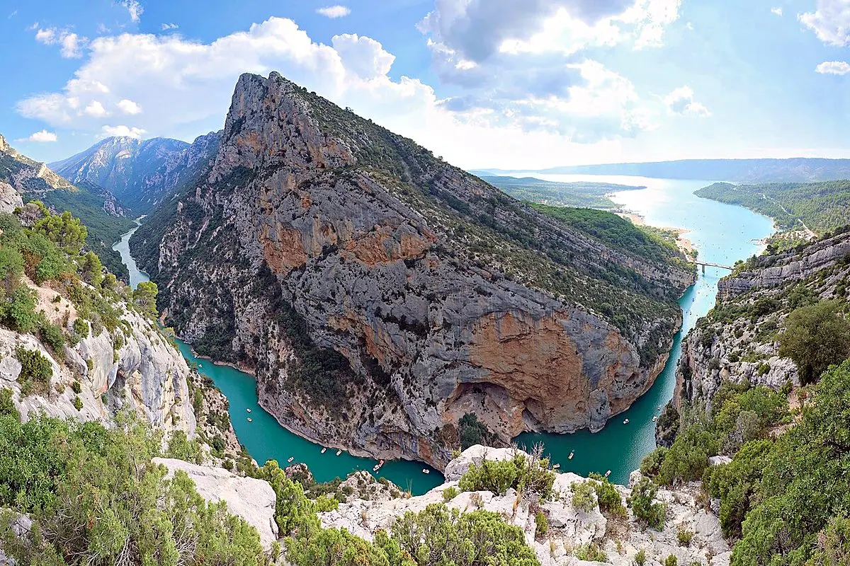
kallerna · CC BY-SA 4.0 Belvédère de Galetas Aiguines / Moustiers-Sainte-MarieAbove the mouth of the canyon where it opens into Lake Sainte-Croix — the famous Pont du Galetas and its turquoise pedalos.
The Lower Gorges at Baudinard
Downstream, towards Sainte-Croix 5
-
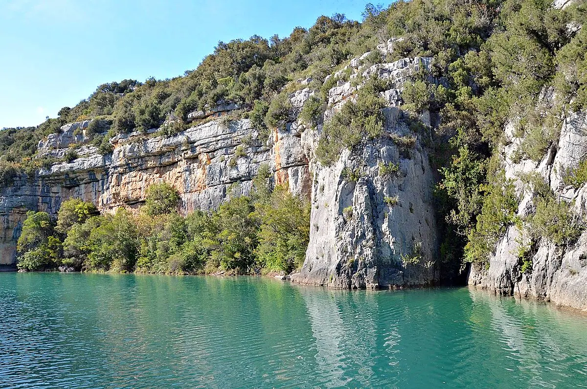
Patrick Gaudin · CC BY 2.0 Belvédère Gorge Baudinard 1 Baudinard-sur-VerdonView over the Lower Gorges / Lake Sainte-Croix.
-
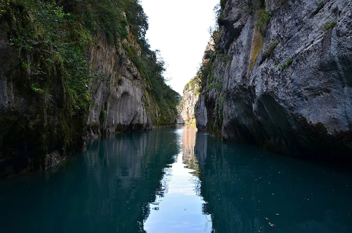
The gorge seen from the river, near this viewpoint · Patrick Gaudin · CC BY 2.0 Belvédère Gorge Baudinard 2 Baudinard-sur-VerdonView over the Lower Gorges / Lake Sainte-Croix.
-
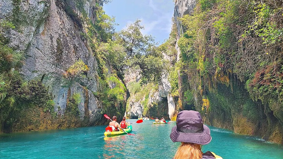
The gorge seen from the river, near this viewpoint · Harald Hetzner · CC0 Belvédère Gorge Baudinard 3 Baudinard-sur-VerdonView over the Lower Gorges / Lake Sainte-Croix.
-
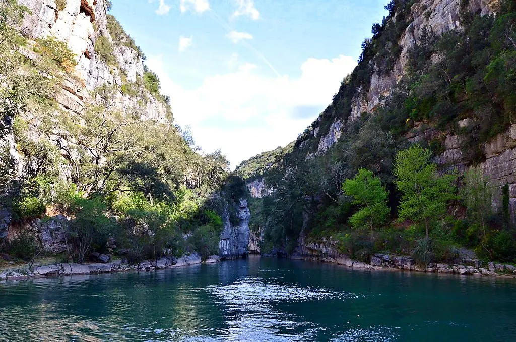
The gorge seen from the river, near this viewpoint · Patrick Gaudin · CC BY 2.0 Belvédère Gorge Baudinard 4 Baudinard-sur-VerdonView over the Lower Gorges / Lake Sainte-Croix.
-
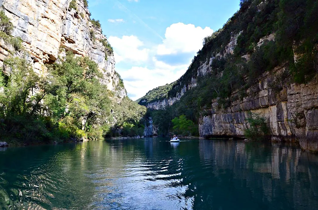
The gorge seen from the river, near this viewpoint · Patrick Gaudin · CC BY 2.0 Belvédère Gorge Baudinard 5 Baudinard-sur-VerdonView over the Lower Gorges / Lake Sainte-Croix.
Other viewpoints
8
-
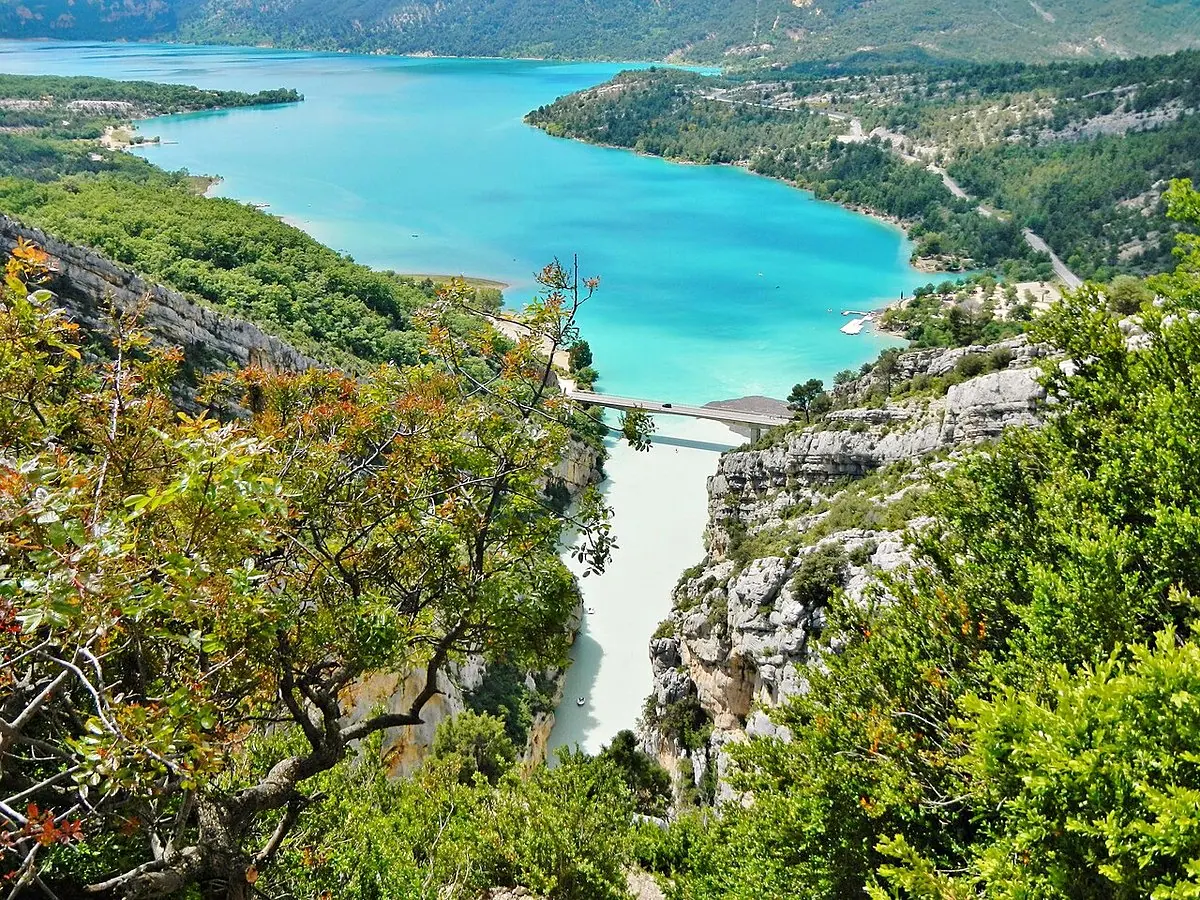
qwesy qwesy · CC BY 3.0 Crète d'Ourbes -
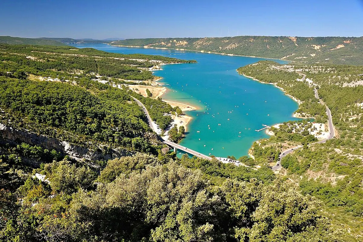
Hohi2009 · CC BY-SA 4.0 Belvédère de Tréguier Moustiers-Sainte-MarieA family discovery trail through olive groves and dry-stone terraces from a car park at the top of Moustiers-Sainte-Marie, near the Sainte-Anne chapel (~4.5 km there and back, ~140 m of elevation gain, about 2 hours). The last section up to the promontory is steep and not recommended for children.
-
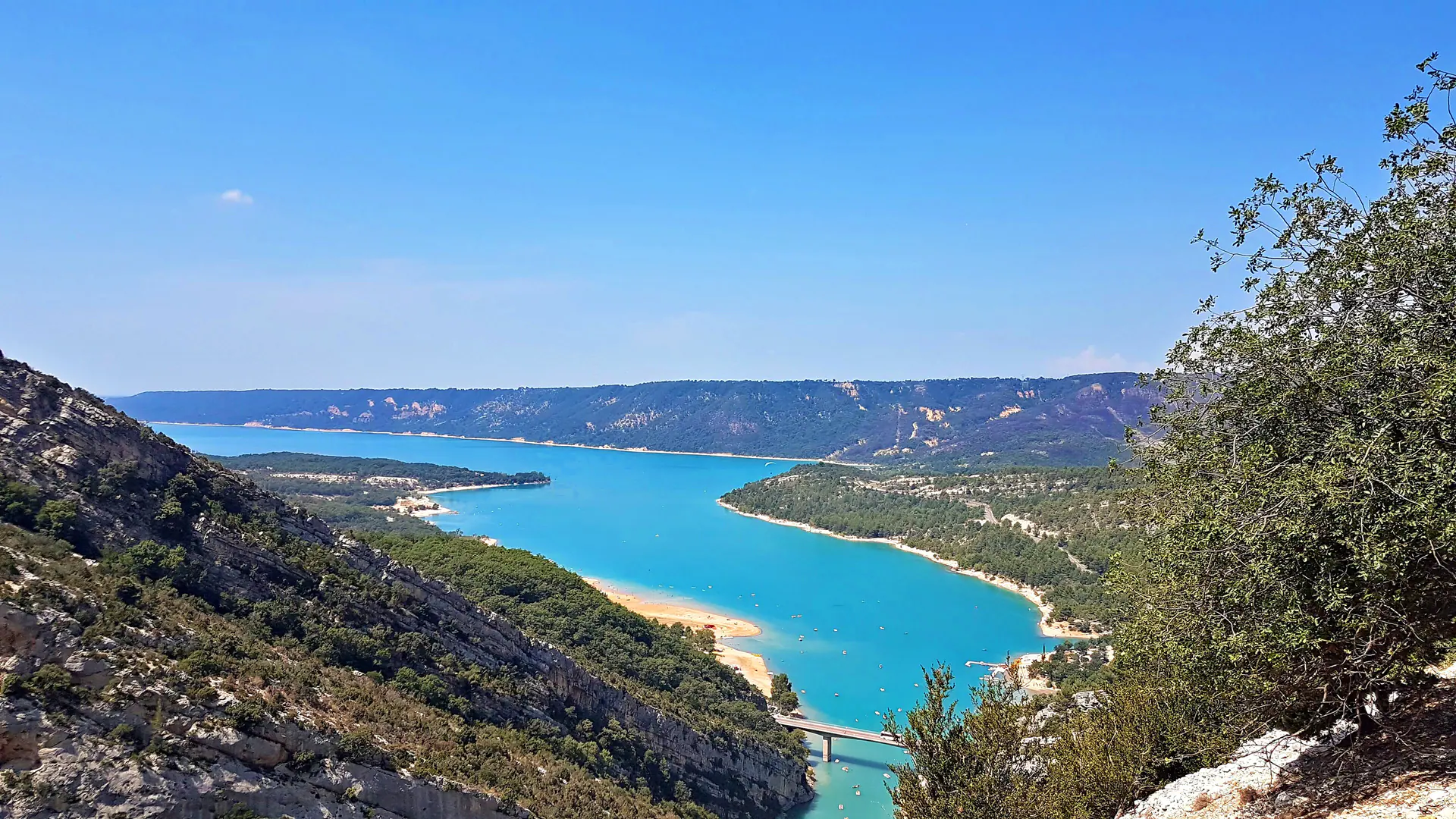
View taken from the road, below the summit · Mathieu BROSSAIS · CC BY-SA 4.0 Belvédère de Plein Voir La Palud-sur-VerdonA summit (1,194 m) reached on foot from the Félines car park, via the Col de l'Âne (~8 km there and back). A strenuous hike, not recommended if you suffer from vertigo (exposed passage with a handrail).
-
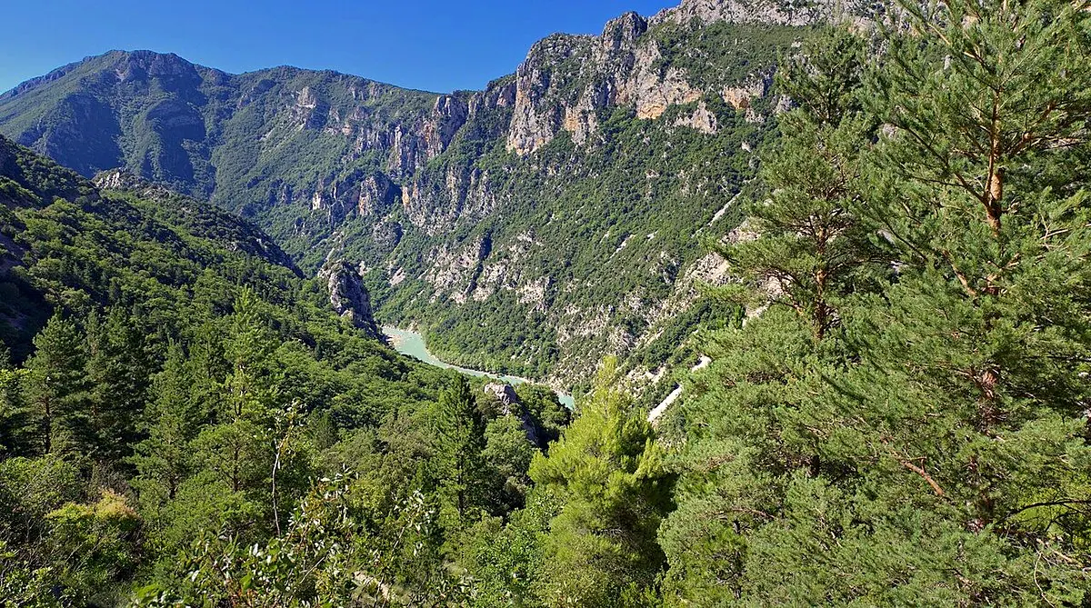
holadeejay (Panoramio) · CC BY-SA 3.0 Plateau de Barbin La Palud-sur-VerdonA stage on the GRP Tour du Verdon / GR4, about 3 km from the Col de Plein Voir towards La Palud-sur-Verdon — a hike of several kilometres from the usual car parks (Félines or La Palud), not a short walk from the road.
- Belvédère du Pidanoux
- Belvédère Marie Sumian
- Belvédère Trompines
- Sommet du Chastillon Trigance
Access and safety
What you need to know before you set off.
- Mountain roads
Narrow, winding roads: drive slowly and only stop in the car parks.
- Check road conditions
After heavy rain or in winter, some sections may close. Today’s conditions →
- One-way
Part of the Route des Crêtes can only be driven in one direction.
- Stay careful
Stay behind the railings: the cliffs drop sheer.
Practical information for the Route des Crêtes
The Route des Crêtes in practice (2026)
Compulsory one-way between Jas d’Aire and La Maline, clockwise (signposted from La Palud-sur-Verdon).
From late March to late November. The middle section (Pas de la Baou → Chalet de la Maline) closes in winter, from the 4th Friday of November to the 4th Friday of March, according to Verdon Tourisme.
Tunnels: height limited to 3.6 m on the sides, 4.3 m in the centre. The loop is about 23 km and 14 viewpoints.
A small free car park at each viewpoint — they fill up fast in the middle of the day in summer. Arrive early.
The full circuit by car → Shuttles & car parks of the gorges → The Route des Crêtes on foot (hike) →
Frequently asked questions
What is the most beautiful viewpoint over the Gorges du Verdon?
There is no objective ranking: it all depends on what you are looking for. For the entrance to the canyon, the Point Sublime, at Rougon, overlooks the Couloir Samson — it is the most often cited viewpoint. For vertigo, the Balcons de la Mescla, on the Corniche Sublime (left bank), offer an impressive view: the tight loop where the Verdon meets the Artuby. For an overall panorama, the Route des Crêtes strings together 14 viewpoints above the void.
What is the difference between the Route des Crêtes and the Corniche Sublime?
These are the two great panoramic roads of the canyon, on opposite banks. The Route des Crêtes (D23/D952) runs along the right (north) bank, starting from La Palud-sur-Verdon: it is a loop that links the most viewpoints, closest to the void. The Corniche Sublime (D71) runs along the left (south) bank, on the Aiguines and Comps-sur-Artuby side, with the Balcons de la Mescla, the Pont de l’Artuby and the Col d’Illoire.
Does the Route des Crêtes have to be driven in a specific direction?
Yes. The section between Jas d’Aire and La Maline is one-way, clockwise (signposted from La Palud-sur-Verdon). The road is open from late March to late November; the middle section closes in winter (from the 4th Friday of November to the 4th Friday of March, according to Verdon Tourisme). Watch the vehicle clearances in the tunnels (height 3.6 m on the sides, 4.3 m in the centre). Always check the conditions of the day before setting off.
Can you see the gorges without walking?
Yes. The viewpoints of the Route des Crêtes and the Corniche Sublime, as well as the Point Sublime and the Galetas viewpoint, are accessible by car, with short stops. It is the easiest way to discover the Grand Canyon in a single day.
Check for yourself
The external sources this page relies on, one click away. We would rather you be able to contradict us than ask you to take our word for it.
- Parc naturel régional du Verdonparcduverdon.fr
The area’s managing authority: regulations by environment (land, aquatic, vertical), bivouacking and camping, fire, drones, advice from the Park rangers.
- Inforoute 04 — road conditions in the Alpes-de-Haute-Provenceinforoute04.fr
Real-time traffic conditions on the departmental and national roads of the 04, winter road conditions and pass closures.
This site refuses automated requests: the link opens normally in a browser, but we could not check it ourselves.
- Lacs & Gorges du Verdon intercommunal tourist officelacs-gorges-verdon.fr
Tourist office covering 16 villages of the left bank and the lakes: beaches, services and providers in the area.
2 of these 3 links responded during our last automated check, on 29 October 2026. A broken link is removed, never left in place.