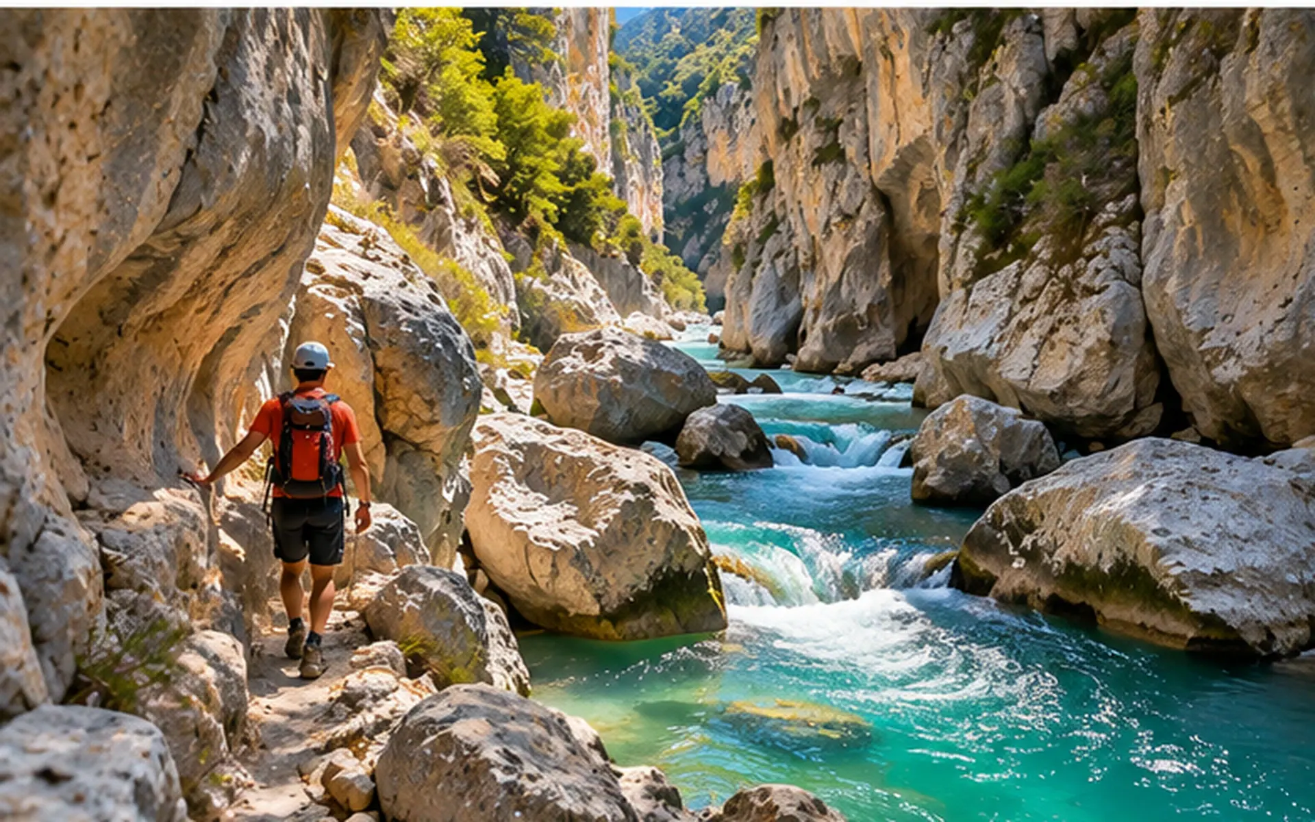
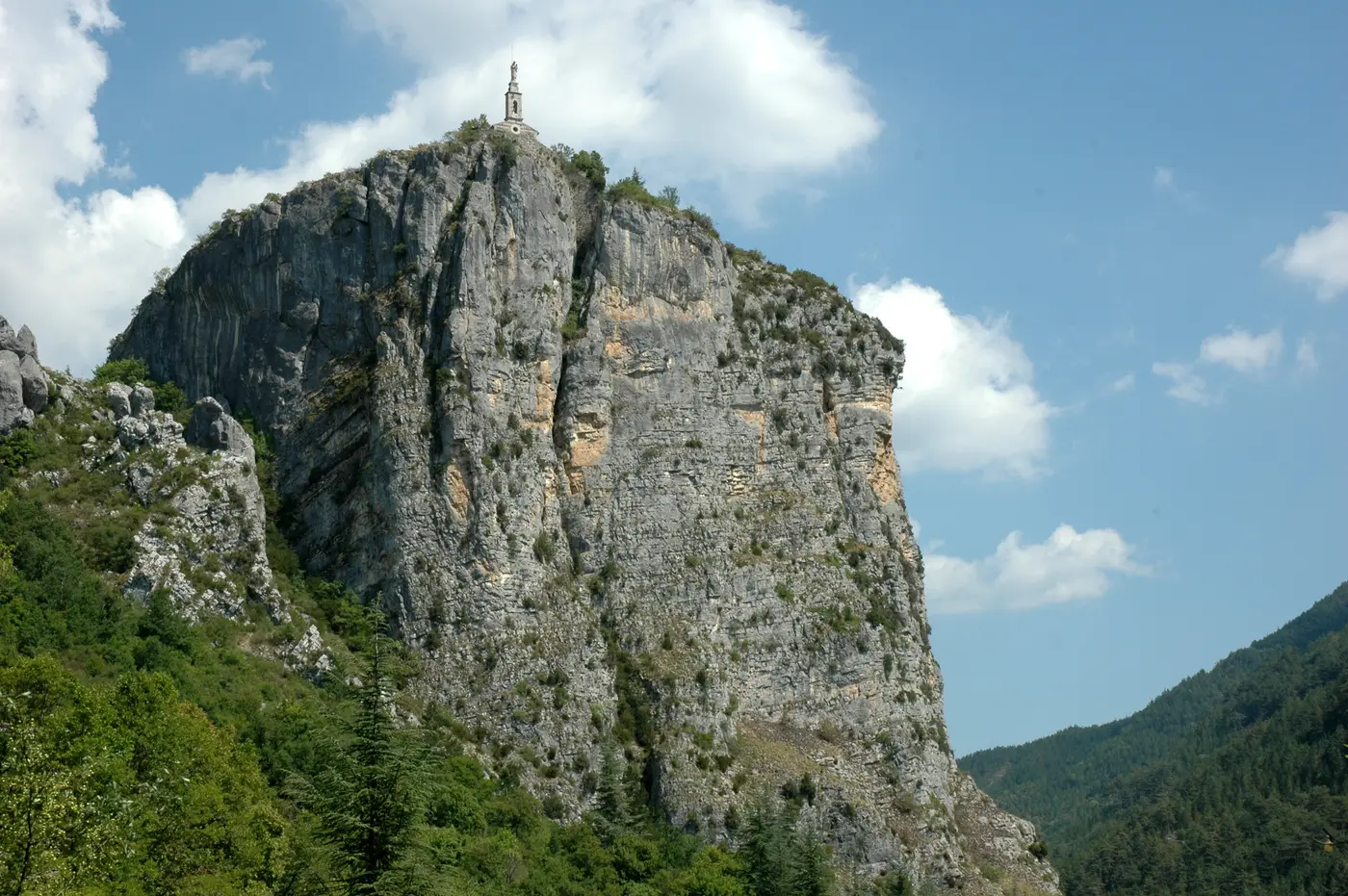
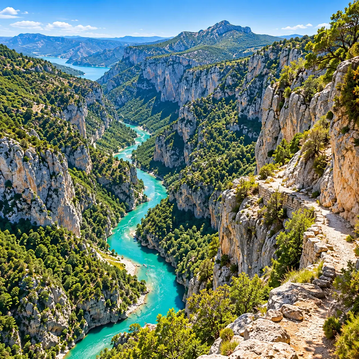
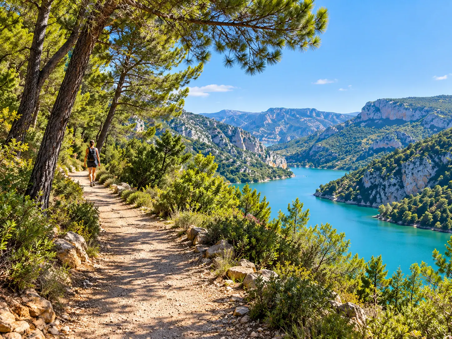
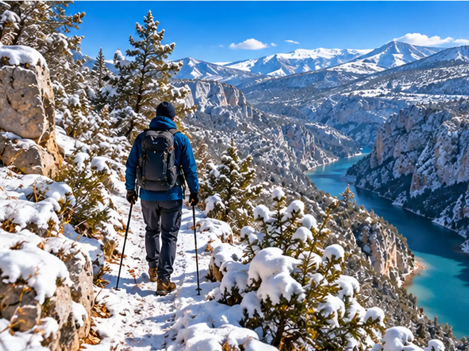
Illustrative image

Hiking

Hiking inthe Verdon,trail by trail

Explore 21 verified trail pages, each with a date and a source. Compare durations, elevation gain, trail conditions and transport options. From the gorges to the lakes, choose your route.

Our favourite hikes

A selection of varied levels from our 21 verified trail pages. Each route shows its characteristics, its source and its check date.

See all hikes

Explore the hikes on the map

Each marker shows the starting village, not the line of the trail. See the trail page to find out whether it is open.

One marker per starting village.

Find your ideal hike

Choose according to your time, your level and what you feel like doing. Then check the elevation gain and access conditions on each trail page.

Hiking through the seasons

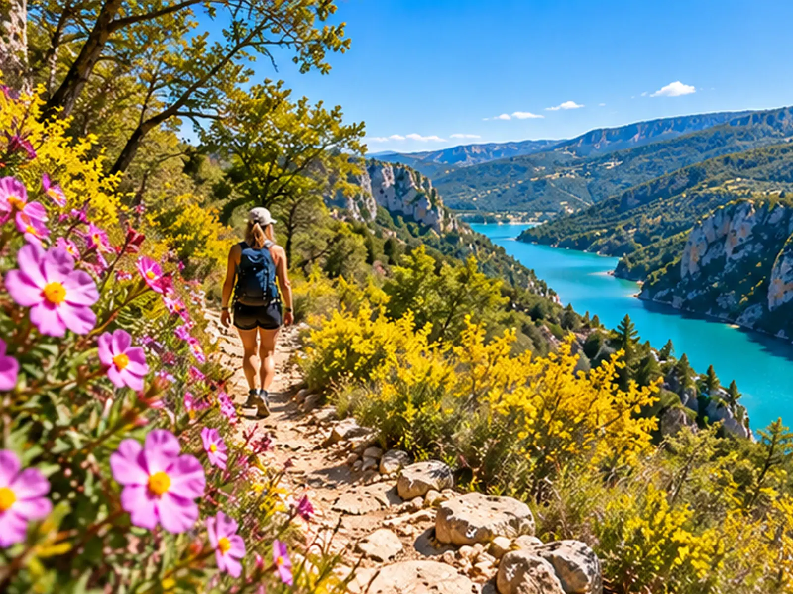
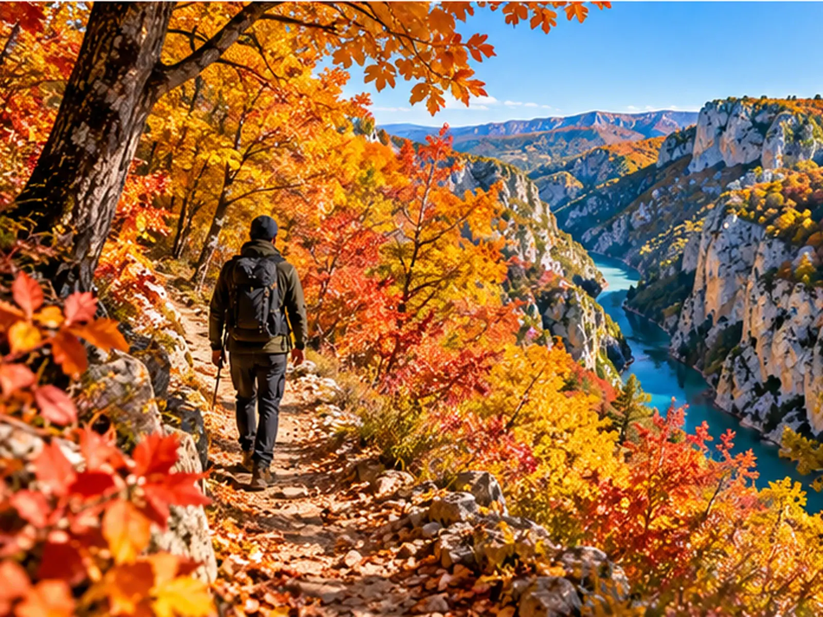
Around Castellane, favour spring and autumn. In summer and winter, adapt your choices to the conditions.

Plan your hike

Check access, the weather, maps and local rules before you set off. A hike may be closed or diverted.

All our hiking guides

Hiking in the Verdon: the essentials

Good habits

  • Allow about 2 L of water per person, 3 L for the Blanc-Martel.
  • In summer, set off before 7 am and avoid noon to 4 pm.
  • Bring a torch for the Blanc-Martel tunnels.
  • In an emergency, call 112.
  • Stay on the paths and do not cross any closed area.
  • Check the status and check date on each trail page.
  • Do not swim along the Blanc-Martel.
  • In summer, check the daily massif access map.

One area, many hikes

Hiking in the Verdon does not just mean going down to the bottom of the Grand Canyon. You can choose the gorges, the surroundings of the lakes of Sainte-Croix, Castillon, Esparron and Quinson, the Haut-Verdon or the Basses Gorges. Distances, elevation gain and conditions vary from one route to another. The LiveVerdon inventory lists 98 trails, including 21 verified trail pages with a date and a source. Start by choosing a starting village, then compare the characteristics of the routes before you decide.

Source: LiveVerdon trail pages.

The Blanc-Martel in practice

The Blanc-Martel is a one-way hike of 15 km, with about 600 m of elevation gain and 5 hours 30 minutes of walking without stops. With the Park shuttle, allow about 7 hours between departure and return. The tunnels require a torch, and the Park asks for at least 3 L of water per person. Also plan your picnic and your equipment. Your return must be organised in advance. A diversion goes around a closed section, and you must never cross the barriers.

Source: Parc naturel régional du Verdon, Blanc-Martel trail page and shuttle FAQ.

Choosing according to your level

Do not choose a hike on the strength of its photograph alone. The Toine nature trail is 2.5 km with 58 m of elevation gain, and a stated duration of 1 hour 30 minutes. The Siréniens trail is 4 km with 150 m of elevation gain. Notre-Dame du Roc is 3.6 km with 211 m of elevation gain. The Grand Margès, at 11.7 km and 827 m of elevation gain, belongs to another category of effort. Compare the figures and their sources.

Source: verified LiveVerdon trail pages.

Season and heat

Around Castellane, the recommended periods run from April to June and from September to October. In July and August, set off before 7 am and avoid the hottest hours, between noon and 4 pm. Bring about 2 L of water per person, a cap and sun cream. Do not go into the gorges on days of heavy rain: floods and rockfalls are dangers. In winter, the Park advises against the Blanc-Martel in particular.

Source: Office de tourisme Castellane-Verdon; Parc naturel régional du Verdon.

The river is not a beach

The level of the Verdon can change very quickly because of water releases from the dams upstream. A bank that looks accessible can therefore become dangerous. Keep away from the river and do not swim along the Blanc-Martel trail: swimming there is dangerous and prohibited. For a day on the water, head for the lakes instead. Then check the local swimming rules before choosing your spot.

Source: Parc naturel régional du Verdon, Blanc-Martel trail page.

Summer and fire

In summer, access to forest massifs depends on the wildfire risk: in the Alpes-de-Haute-Provence, it is regulated from 20 June to 20 September. A map published around 6 pm shows the conditions forecast for the next day; depending on the area, access may be allowed, discouraged or prohibited. Some parts of the communes south of the Verdon fall under the Var regulations: so check the right département before you set off. Do not smoke, do not light fires and leave no litter. If a fire starts, call 112 or 18.

Source: DDT des Alpes-de-Haute-Provence (2026 leaflet); Var regulatory map; Verdon Tourisme.

Dogs and flocks

Not all Verdon trails accept dogs. They are prohibited, even on a lead, on the Blanc-Martel, the Imbut and the Lézard trail at the Couloir Samson. On other routes, keep your dog on a lead. If you approach a flock accompanied by guard dogs, stay calm and keep your distance. Keep your animal on its lead, without picking it up. Check the restrictions specific to the route before you set off.

Source: Verdon Tourisme, « Où randonner avec mon chien »; Parc naturel régional du Verdon.

Open or closed?

A well-known hike can become inaccessible after a rockfall or a decision by the commune. The Imbut trail, in particular, is subject to a closure order. On the Blanc-Martel, a diversion goes around a prohibited section. LiveVerdon trail pages automatically display the opening statuses available, with a date and a source. Always check this information before you set off. An old status must be checked again: it does not by itself guarantee the conditions you will meet.

Source: Office de tourisme Lacs et Gorges du Verdon; Parc naturel régional du Verdon; LiveVerdon trail pages.
Frequently asked questions about hiking in the Verdon

What is the most beautiful hike in the Verdon?

There is no single best hike for everyone. The Blanc-Martel is the best-known route. For an easy walk near the lac de Sainte-Croix, look at the Toine nature trail: 2.5 km and 58 m of elevation gain. To see Castellane from above, look at Notre-Dame du Roc. If you want a serious effort, the Grand Margès is rated difficult. Always check the status of the trail page you choose.

Source: Parc naturel régional du Verdon; LiveVerdon trail pages.
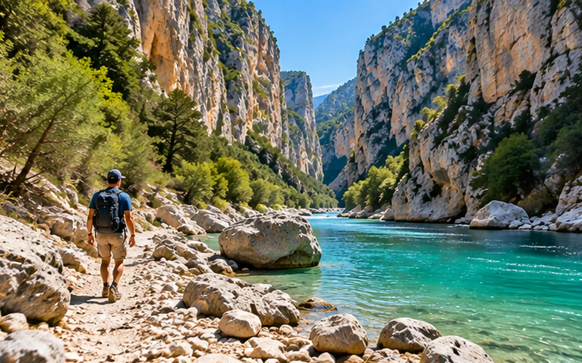
Is the Blanc-Martel trail open?

The Blanc-Martel is currently reported as open, with a diversion going around a section closed after a rockfall. The prohibited section lies between the exit of the Couloir Samson and the Point Sublime. The detour follows a departmental road and then the GR 49. Never cross a closed area. As the situation may change, check the dated status displayed automatically on the trail page before you set off, as well as the Park's instructions.

Source: Parc naturel régional du Verdon (order of the commune of Rougon).

How long does the Blanc-Martel take and how do I get back?

Allow about 5 hours 30 minutes of walking without stops for the 15 km of the Blanc-Martel, with 600 m of elevation gain. It is a one-way hike. If you use the Park shuttle, allow about 7 hours between departure and return. The Park also mentions the regional coach line 450 (Castellane - Riez); otherwise, you need two cars or a taxi. Check the timetables and organise your return before the hike.

Source: Parc naturel régional du Verdon, shuttle FAQ and Blanc-Martel trail page.

Should I book the Blanc-Martel shuttle?

It is strongly recommended. A ticket can be bought on board on the day, but only if seats remain, with no guarantee. Tickets are issued in the passenger’s name, and bookings for the next day close at 6 pm. The service runs a maximum of three shuttles a day when it operates, and none under red weather warning. The shuttle only runs at certain times of the year: see the official calendar on navette.parcduverdon.fr.

Source: Parc naturel régional du Verdon, shuttle FAQ.

What is the best season for hiking in the Verdon?

Spring and autumn are generally the most recommended periods around Castellane, notably April to June and September to October. In July and August, the heat means setting off early and avoiding the middle of the day. The Park advises against the Blanc-Martel in winter because of falling rocks. For each season, choose a suitable route and check the weather and the opening status on its trail page.

Source: Office de tourisme Castellane-Verdon; Parc naturel régional du Verdon.

Can I hike with my dog?

Yes, on some routes, but not everywhere. Dogs are prohibited, even on a lead, on the Blanc-Martel, the Imbut and the Lézard trail at the Couloir Samson. Elsewhere, they must be kept on a lead. The Park shuttle also refuses animals. If there is a flock and guard dogs, keep your distance, stay calm and do not pick your dog up. Check the rules of the route before you set off.

Source: Verdon Tourisme; Parc naturel régional du Verdon.

Can I swim in the gorges?

Swimming along the Blanc-Martel is dangerous and prohibited. The level of the Verdon can vary quickly because of water releases from the dams upstream. You must stay away from the banks. This does not mean that all swimming is prohibited across the whole area. The lakes are an alternative, provided you follow the local rules and check the conditions before getting in the water.

Source: Parc naturel régional du Verdon, Blanc-Martel trail page.

What is a water release?

A water release is a change in flow linked to the operation of the dams upstream. In the gorges, the level of the river can then rise or fall very quickly. Do not rely on the calm appearance of the water or of a bank. Stay away from the river and respect the swimming bans. Do not assume any fixed release day when preparing a hike.

Source: Parc naturel régional du Verdon, Blanc-Martel trail page.

Can I hike in summer despite the wildfire risk?

Yes, only if the conditions and the regulations for the area allow it. In the Alpes-de-Haute-Provence, access to the massifs is regulated from 20 June to 20 September; an official map is published around 6 pm for the next day. It shows which access is allowed, discouraged or prohibited. Some parts of the communes south of the Verdon fall under the Var rules. An offence may be punished by a fine of €135. Check the day's map before any hike.

Source: DDT des Alpes-de-Haute-Provence (2026 leaflet); Var regulatory map.

Which hikes are suitable with children?

Start by looking at the easy, short routes, such as the Toine nature trail, which is 2.5 km with 58 m of elevation gain, or the Siréniens trail, at 4 km and 150 m of elevation gain. Check the opening status and the characteristics on each trail page to choose according to the children's abilities. The Park advises against the Blanc-Martel for young children, because of its tunnels, its length and its elevation gain.

Source: LiveVerdon trail pages; Parc naturel régional du Verdon.

What should I put in my bag for hiking in the Verdon?

Bring hiking shoes, water, food and sun protection: the Castellane tourist office advises about 2 L of water per person. For the Blanc-Martel, the Park asks for at least 3 L of water per person, a torch that is essential in the tunnels, a picnic, a warm layer and a hat. Adapt your equipment to the weather and to the walking time shown on your route's trail page.

Source: Parc naturel régional du Verdon; Office de tourisme Castellane-Verdon.

What should I do if there is a problem during a hike?

In an emergency, call 112. If you see a fire starting, you can also call 18. Never cross a closed section, even if the way seems passable. Before you set off, check that the trail is open, the weather and the restrictions on access to the massifs. For the Blanc-Martel, also organise your return before you start.

Source: national emergency numbers; Parc naturel régional du Verdon.

Is the Imbut trail open?

No. The Imbut trail has been closed by a municipal order of Aiguines since 5 July 2022, following rockfalls, from the descente des Cavaliers to the exit of the sentier Vidal. This closure must not be confused with the situation on the Blanc-Martel, which has a diversion. Do not take the Imbut until an official reopening has been confirmed, and check the trail page and its check date.

Source: Office de tourisme Lacs et Gorges du Verdon; Parc naturel régional du Verdon.

Current conditions (weather, water releases, fire risk, closures) to check before you go — see the state of the Verdon.

The inventory of Verdon trails, area by area

Beyond our detailed guides, here is the inventory of hiking routes in the Verdon, from the Grand Canyon to the Haut-Verdon. Distances and elevation gains are shown only when an identified source provides them: usually the trail manager or a tourist office, and OpenStreetMap for a few trails. Without a source, the value is left blank; detailed guides are added progressively.

Grand Canyon of the Verdon (28)

  • Belvédère de Plein Voir 9.8 km difficult PR guide →
  • Belvédère de Rancoumas PR guide →
  • Belvédère du Point Sublime 0.8 km 14 m D+ easy PR
  • Chemin du Belvédère de la Dent d'Aire 7.6 km moderate PR
  • Couloir Samson — tunnels et tours de Trescaïre 2.8 km easy PR
  • De Trigance au Verdon 12.8 km moderate PR
  • GR de Pays — Tour des Gorges du Verdon 116 km GRP (red and yellow)
  • GR4 (traversée des Gorges du Verdon) GR (white and red) guide →
  • La Palud → Rougon par le Pont du Baou PR/GR
  • La Palud-sur-Verdon → Chalet de la Maline par le GR4 GR4
  • La Palud-sur-Verdon → Moustiers-Sainte-Marie par le GR4 GR4
  • Le Plateau de Suech PR
  • Parcours patrimoine de Rougon easy heritage trail
  • Plein Voir par le Col de l'Âne 10.5 km difficult PR guide →
  • Point Sublime → Rougon par le GR4 GR4
  • Route des Crêtes (14 belvédères) 24 km scenic road (on foot or by bike) D23 road + access to the viewpoints guide →
  • Sentier Blanc-Martel 15 km 600 m D+ moderate to difficult GR4 (white and red) guide →
  • Sentier Blanc-Martel par la passerelle de l'Estellier 14 km difficult GR4 + variant guide →
  • Sentier de l'Imbut very difficult PR guide →
  • Sentier Découverte de Châteauneuf-lès-Moustiers easy discovery trail
  • Sentier des Cavaliers (descente Imbut) difficult PR guide →
  • Sentier du Bastidon 16.2 km 870 m D+ difficult PR guide →
  • Sentier du Lézard easy interpretive trail
  • Sentier du Pont de Tusset — Entreverges PR
  • Sentier Vidal 300 m D+ very difficult PR
  • Sommet du Chiran par les Chauvets difficult PR
  • Tour de Barbin PR
  • Tour de la Fontaine des Prés PR

Lake Sainte-Croix (10)

  • Boucle du Défens (Bauduen) PR
  • Circuit de Bauduen moderate PR
  • GR de Pays — Tour du lac de Sainte-Croix 74 km 2050 m D+ GRP (red and yellow)
  • Le sentier de Véris (Bauduen) easy PR
  • Sentier / Belvédère de Tréguier easy botanical trail
  • Sentier muletier de Sainte-Croix-du-Verdon moderate PR
  • Sentier naturaliste de Toine 2.5 km 58 m D+ easy discovery trail (yellow) guide →
  • Tour du lac de Sainte-Croix — Étape Baudinard → Bauduen 74.1 km 2050 m D+ moderate GRP (TDV)
  • Tour du lac de Sainte-Croix — Étape Bauduen → Les Salles 74.1 km 2050 m D+ easy GRP (TDV)
  • Tour du lac de Sainte-Croix — Étape Les Salles → Aiguines 74.1 km 2050 m D+ GRP (TDV)

Lake Castillon (10)

  • Balade au Hameau de Ville (Demandolx) easy PR
  • Barre le Pidanoux 7.6 km 310 m D+ moderate PR
  • La Ferme Brûlée (Demandolx) moderate PR
  • Le Sommet de Chalvet moderate PR
  • Le Sommet de Crémon difficult PR
  • Le Tour des Serres (Angles) moderate PR
  • Le Tour des Sources (Angles) easy PR
  • Les Belvédères de la Dindière 6.9 km 332 m D+ moderate PR
  • Sentier des Pêcheurs (Saint-André-les-Alpes) easy PR
  • Tour de Courchons moderate PR

Haut-Verdon (17)

  • Canal de l'Adroit (sentier d'interprétation) easy discovery trail guide →
  • Cascade de Chaumie 2.3 km 209 m D+ moderate PR
  • Cascade de la Lance easy PR
  • Cols et Lacs de l'Encombrette difficult GR/PR
  • Crête de la Gardette moderate PR
  • Gorges de Saint-Pierre — Col de l'Orgeas — Ondres difficult PR
  • Gorges de Saint-Pierre (sentier botanique) moderate botanical trail / PR
  • GR de Pays — Tours du Haut Verdon (THV) 216 km GRP (red and yellow)
  • Le Puy de Rent depuis Allons difficult PR
  • Le Tour des Champons (Allons) moderate PR
  • Le Tour du Courradour (Thorame-Haute) moderate PR
  • Les Lacs de Lignin 11.2 km 577 m D+ difficult PR
  • Panorama du Lac d'Allos depuis le Col de l'Encombrette difficult PR/GR
  • Pic de Mal-Ubac (Beauvezer) difficult PR
  • Promenade du lac des Sagnes (Thorame-Haute) easy PR no swimming (order 2026-024)
  • Sentier du Lac d'Allos easy to moderate interpretive trail (Mercantour)
  • Val d'Issole (Thorame-Basse) moderate PR

Basses Gorges & southern lakes (9)

  • Circuit des Basses Gorges du Verdon 9.9 km 299 m D+ moderate PR
  • Gorge de Baudinard et ravin de Saint-Pierre moderate PR
  • Gorges de Baudinard moderate PR
  • Gorges et Chapelle de Baudinard moderate PR
  • GR de Pays — Tour du lac d'Esparron 68 km GRP (red and yellow)
  • Sentier des Pêcheurs (basses gorges) 6 km 260 m D+ moderate PR
  • Sentier des Sireniens (Quinson) easy discovery trail guide →
  • Sentier du Garde-Canal (basses gorges) 11 km 300 m D+ easy to moderate PR (yellow) guide →
  • Tour du lac d'Esparron (itinéraire pédestre) GRP

Castellane & the Préalpes (10)

Moustiers, Aiguines & Valensole (7)

Long-distance routes (GR) (3)

  • GR de Pays — Tour de l'Artuby 74.5 km GRP (red and yellow)
  • GR49 GR (white and red)
  • GR99 GR (white and red)

Haut-Var / left bank (83) (4)

  • De la Voie romaine à la roche de bauxite 6 km 250 m D+ PR (yellow)
  • Cascade de paysages à Villecroze 8 km 240 m D+ PR (yellow)
  • Boucle au-dessus du Domaine de Valcolombe 5.5 km 245 m D+ PR (yellow)
  • Boucle au-dessus du domaine Saint-Jean de Villecroze 3.5 km 90 m D+ easy red arrows (outside the official PR network, specific to the site)

Inventory verified on 2 September 2026. Sources: Parc naturel régional du Verdon, FFRandonnée, tourist offices, Chemins des Parcs; some distances and elevation gains completed from OpenStreetMap.

Check for yourself

The external sources this page relies on, one click away. We would rather you be able to contradict us than ask you to take our word for it.

2 of these 3 links responded during our last automated check, on 29 October 2026. A broken link is removed, never left in place.

Page updated on